Last night our private 90 site campground was invaded by one other couple. It was OK because their trailer was so cute.

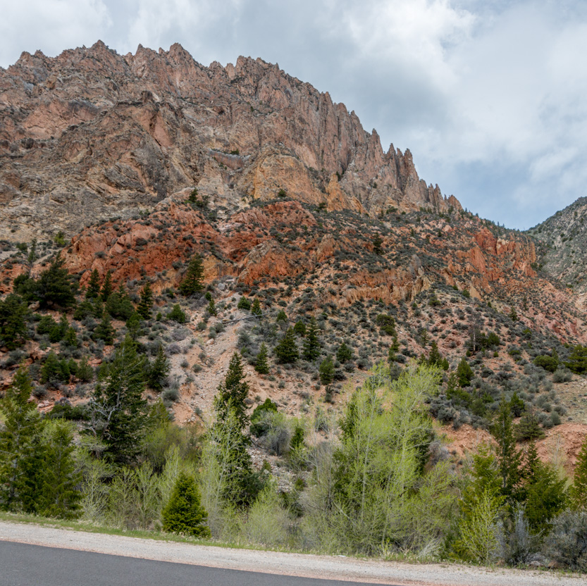
Today we drove a short way west to drive the Sheep Creek Geological Loop. It is a road through a deep, narrow canyon where the different layers of rocks have been thrust up at enough of an angle that you can see a long way back in time.
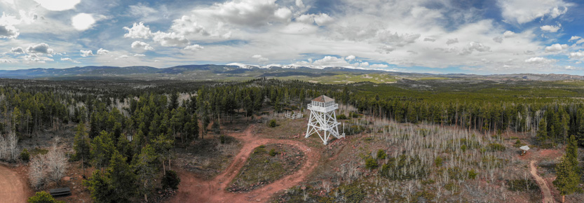
While we were in the neighbourhood we first stopped at the Ute Mountain Fire Tower and then later drove to the Dowd Mountain Overlook of the Green River Gorge/Canyon.

We climbed up through a very white poplar grove.

During the summer the tower is open for tours but not yet.

But when you have a drone, who cares.

A 360 degree panorama.
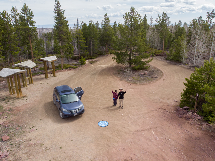
Looking back at us.

Anybody home.

Hi there.
Onwards and down the switchbacks into the Sheep Creek Canyon. Whereas we had nice skies at the fire tower it was quickly clouding over.

Down along a towering rock wall. The wide angle shots always compress it down to look a lot less impressive.
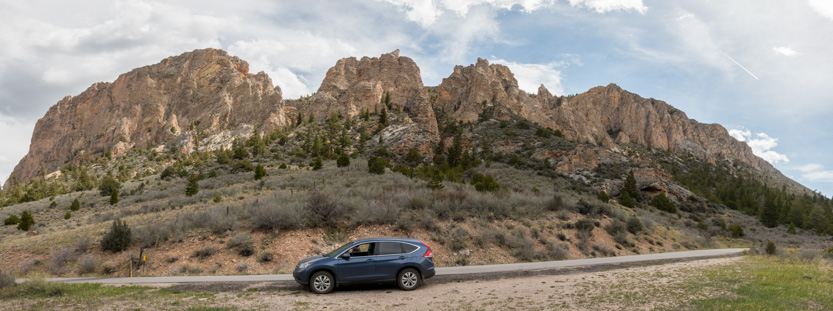
The photosphere.
A wide shot showing some of the tilted up layers that have so many different colours. I downloaded a brochure that described what we were seeing but it was very technical.


Lots of twisted layers.

Down in the canyon it was hard to get an good shots as everything was very close and very high above you. It’s a “You have to go there to really experience it” place.

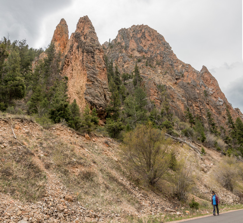

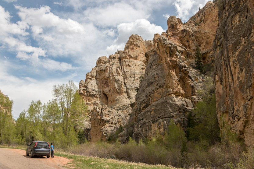
The Tower Rock stop, with tiny Jennie for scale.


And some more towers just around the corner.
I tried a drone shot from high above the road.

The canyon opened up.

Jennie saw this hollowed out rock and had to climb up to it.

Avoiding a lot of cactus (and cow dung).


There was a campground near the main highway where we had lunch. Afterwards, rather than taking the highway to close the loop we just drove the loop backwards. You always see different things going in the opposite direction.
Lastly we drove the 4 miles dirt road off of the highway to the Dowd Mountain Overlook, once again, down on the Red Canyon / Flaming Gorge and the reservoir created by the Flaming Gorge Dam on the Green River.

A few more drone shots.


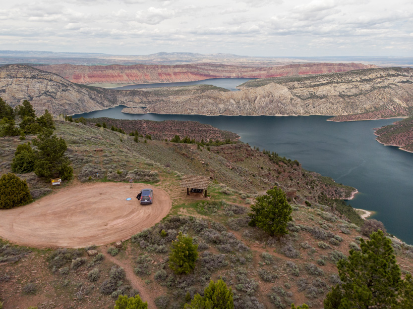
A photosphere from the ground.
And the Skypixel panorama from the drone.
And then home.
No comments:
Post a Comment