First off let me apologize because it turns out that you can take a lot of pictures of the same mountains. You will see that I can’t resist a view of a snow covered mountain.
Last night the forecast for the national park had looked OK in the morning but getting progressively worse. The rest of the week looked even uglier so we decided today was the day.
We got up early for us (7 am) and it was bright sunshine at the campground. The forecast for the park now called for clear until 8 am and then getting overcast. We got away at 7:30 but it is a 1.5 hour drive so by the time we got there the clouds had moved in.

We had to go over one lower pass to get to Victor and then up and down the very steep (10% grades) Teton pass to get to Jackson.

There was a bit of traffic to get through Jackson.

Then out on the vast open plain with the Teton Range beside us. We got stopped a short time for some construction.

For those of you that don’t know, the Teton Mountain Range is kind of unique in that they have no foothills. The plain is at around 6000 feet and then due to a fault line the mountains immediately rise use to around 13000 feet.

I picked the Taggart Lake Trail to start because my guide book said that it gave up great views of the three Tetons, Grand, Middle and South Teton.
We were originally going to do the loop to Taggart and then Bradley Lake but ended up doing only the red out and back for about 3.5 miles.

Off we go. It was about 4C out so everyone had their winter coats, hats and gloves on.
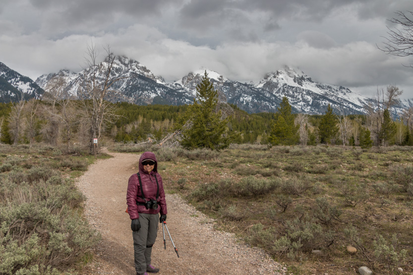
Even though the peaks were mostly in the clouds we at least got a few peeks at the peaks.
After a short flat section we started to climb. I think the elevation change to the lake was only about 400 feet.
Crossing a raging stream.


The photosphere.

We couldn’t see the mountains in this section.
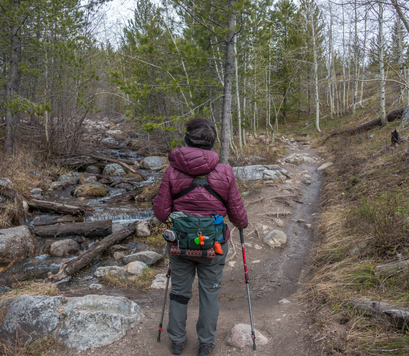
From a distance these log steps looked like a wall.

Then we crossed a meadow with some great views of the three Tetons.
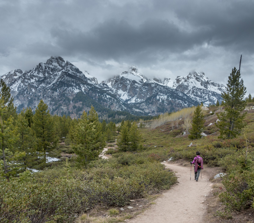
My turn to pose.


Then back into trees, walking carefully over the snow.

Another flat open meadow.

A log that looked like an elk head.

And down to Taggart Lake.
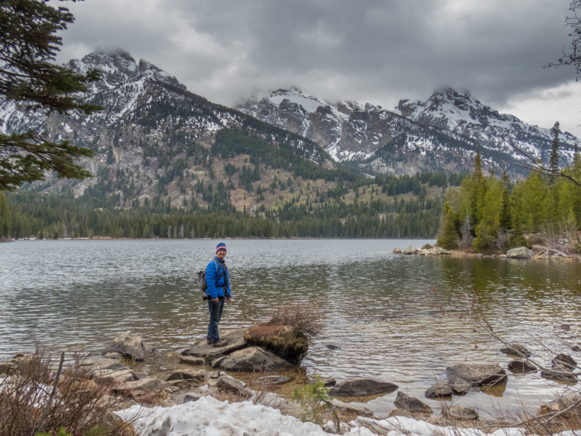


The photosphere.
We did start the loop up to Bradley Lake but this part of the trail was less travelled and the snow got deep and soft so we turned back.

Back at the junction we could have taken the other side of the loop to Bradley but decided that our energy was better spent looking at other things.
Heading back.

Lots of people were still going in but the view was getting worse by the minute. A few flakes of snow started coming down.

As we went a bit north to drive the Jenny Lake Scenic Loop we could see more snow coming our way.

A panorama from one of the viewpoints on the loop road.

The photosphere.
We stopped at the String Lake Trailhead and had lunch.

After lunch we thought we would do another short hike. On the information board it looked like you could do a short loop on one side of a creek down to Jenny Lake (at the boom of the map above) and back on the other side. A more detailed map would have told us that it was not possible. So we did an out and back.
The bridge to the other side of the creek near the trailhead.

Another photosphere.
First you cross another meadow with great views.


The photosphere.
Into the trees across more snow.


And then to the junction of the creek and Jenny Lake.
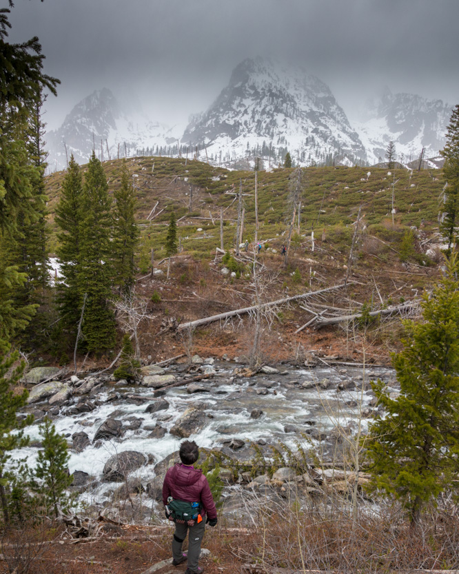
We could see some hikers on the other side.

I don’t think the people on the boat tour got their money’s worth today. The peaks were rather obscured by now.

Next was a stop at the Jenny Lake Visitor’s center. Here you can take a shuttle boat across the lake to do a short hike up to a waterfall and and viewpoint called Inspiration Point.
Back in 2011 we had driven down to Teton for a day while visiting Yellowstone. On that day we had a beautiful clear blue sunny sky and had done the boat trip. Today would have been a pale comparison so it was an easy no to the trip today.
Here is a link to the post of our previous visit. Note the just slightly different sky conditions.
We just went down to the lake for a quick look across.

The final photosphere.
I decided to take the long way home by driving up the rest of the park road and then back down highway 191. Then we took the twisty Moose-Wilson Road instead of going back through Jackson before we headed home over Teton Pass.

We should have just gone straight home. The rest of the park road was mostly in the trees. And while Highway 191 gave a long view of the Tetons, it was the same view the entire way.

The Moose-Wilson road was also very closed in and narrow. Not much to see.
We got home just after 5 pm to some rain. Tomorrow we are supposed to get a lot of rain so it may be an indoor one.
No comments:
Post a Comment