First, I must say that I am actually kind of glad that we didn’t go to Grand Teton National Park for the whole week. We would have missed all the interesting things in this section of Idaho, that I was originally prepared to skip over. Also, on rereading what I had planned in the national park, I found that most of them were just hikes to a lake for a view of the mountains. That would have gotten boring. I am sure there are many great hikes that go up into the mountains but I doubt that they are open yet and even if they were, we are not physically up to them.
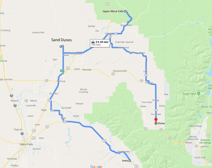
Today we did a looping driving tour north of Idaho Falls. First up was the sand dunes near St. Anthony. Next was Upper and Lower Mesa Falls. Finally we drove down to Victor and then home to get a western side view of the Tetons.
All day we seemed to be surrounded by the storm cells with localized rain but we never did get rained on. We were almost always in the sun.
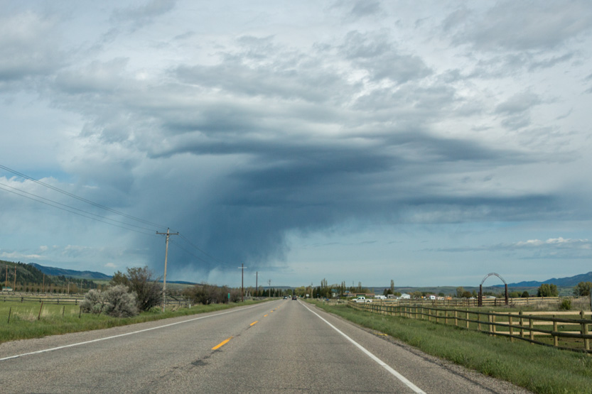
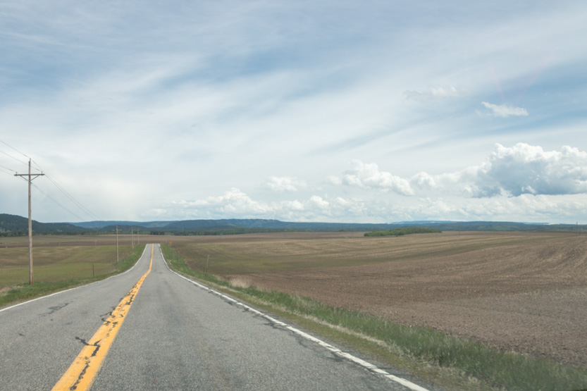
Lots of endless potato fields to drive by. Some recently plowed.
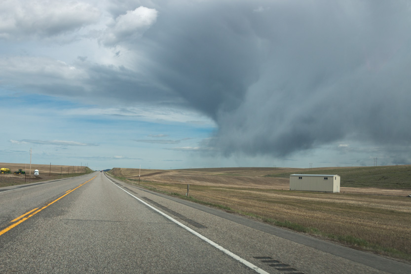
Some already under way.

The St. Anthony Sand Dunes cover 175 square miles. It is mainly used by off highway vehicles (ATV, dune buggies, etc). The sign I read said that hiking and horse back riding were allowed but I don’t know if they have a separate area because I wouldn’t want to share the space with those flying dune buggies.
Since it was just a bit out of our way to the falls, I just wanted to go and get a few pictures from the edge.
There are two main access points. Apparently the sign said I picked the one with the baby learner dunes. The other one had the monster dunes, some 400 feet high and a mile long. It was still an interesting place.
I climbed up on a dune right at the edge. First a few ground shots.
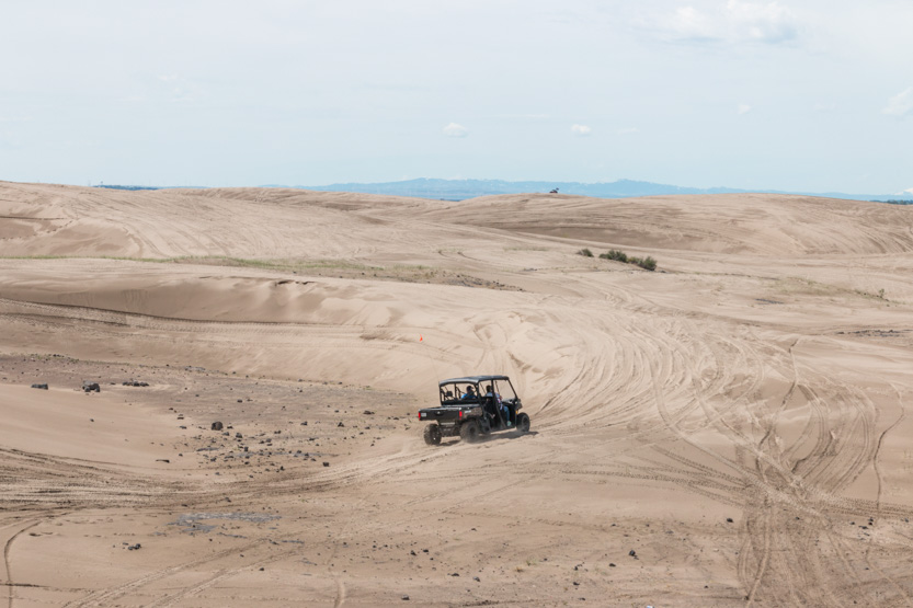

The photosphere.
Of course I got the drone out for the high view.

A wide one.

The patch of green on the left is an RV park. It must be a noisy place.


Onwards, through more potato fields to Upper Mesa Falls.
It was actually quite a busy place. The parking lot was almost full when we arrived. Since we are close to the western gate to Yellowstone Park I assume that most people come for a day trip from there. I saw a lot of Yellowstone T-shirts.
A nice visitor’s center.

Then it is a short climb down a few steps on some very modern walkways to the first viewpoint at the crest of the falls.


Me, and everyone else, at first thinks that the white block on the far side is a rock but it is just snow.

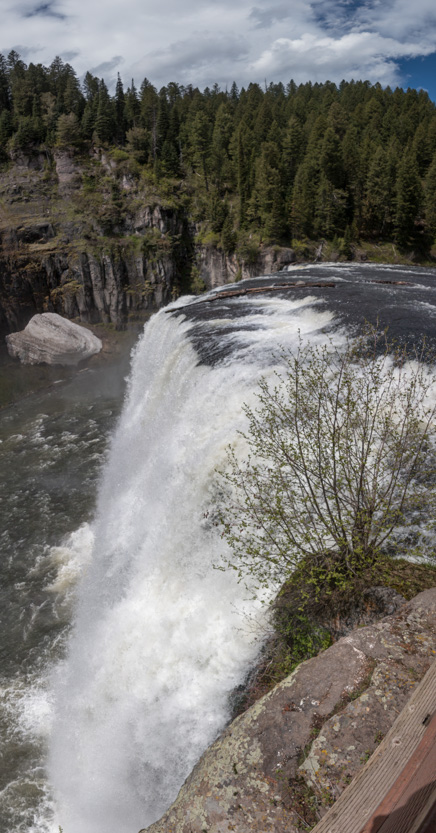
The photospheres from viewpoint 1 and viewpoint 2. There are lots of chopped up people in them because everyone was moving around as I took all the images.
Jennie liked the interesting rocks on the far side of the canyon.

There was a pillar below us, when you looked downstream.

Of course there was a tree blocking the only view of it.

A bit farther down the canyon there was another platform for a slightly more face on view.

The photosphere.
Unfortunately you can’t really get a full face on view.
This would have been a perfect place to use the drone to get the front view but first off, there were too many people around. Second, when I asked the ranger he said, “Since this is public land I can’t stop you from using one but if you crash it I will give you a ticket.” I assume for littering. He said there are several dead drones at the bottom of the canyon because people try to get the drone too close. The mist and swirling winds do them in. I decided that I didn’t need a picture that badly.
Back up we go.

Just a little downstream there is a view to Lower Mesa Falls. Let’s just say that it gives you the long view.

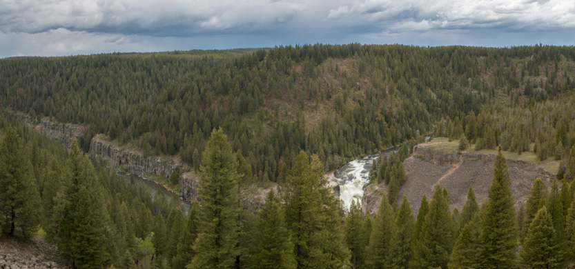
There is a 2.5 mile round trip trail from the upper falls parking lot that takes you to that open green point above the falls.

I am not sure how great their view was though, as there seemed to be trees obstructing them as well.
Jennie got this shot with the zoom on her camera.

Since there weren’t many people around and there was a wide takeoff area, I sent out the drone.

It is much farther than it seemed to get to the falls. The drone became a tiny speck that was very hard to see against the dark trees, since I was flying lower than my horizon.
I am not yet comfortable just flying it from the view on my phone sent back by the drone camera. I always want to see it so I didn’t get really close to the falls.
I did get this more top down view.

At one point I just could not find it. Thankfully it has a “Return to Home” button. One push and it will pop up into the sky and fly back to where it took off from and land itself.
Heading home, via the town of Victor, we drove along the western side of the Teton Mountain Range.
It seemed that all around us there were very dark clouds with rain streaming down, except where we were and, thankfully, the peaks of the three Tetons.
The long view.

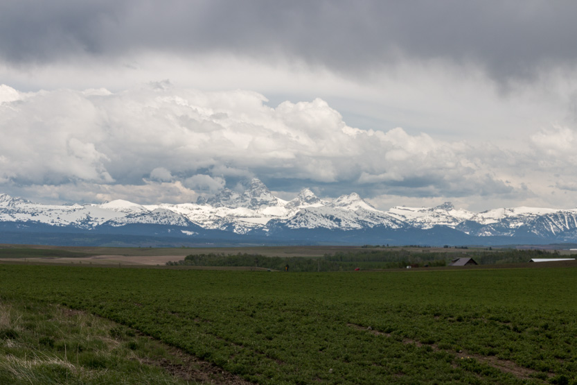


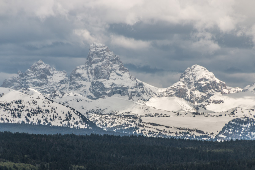
It looked pretty dark on the eastern side, in the national park.

We are moving on tomorrow.
No comments:
Post a Comment