Today we took the Stanley Creek Trail to Lady Face Falls.
It is 9 km out and back but it is another mostly flat one. For the first 3.5 km there is no elevation gain. It is only in the last 1 km that you gain about 300 feet and then go back down about 150 on the side trail down to the falls.

The Inlet Campground is closed so we started at the alternate trailhead.
Although the trail is called the Stanley Creek Trail we never did see the creek until we got to the falls. The trail does continue farther.
It is however a very open trail so we got great views of McGown Peak almost the entire way.

Through an open meadow where these trees almost perfectly masked the mountain.

An interesting boardwalk over a boggy area.

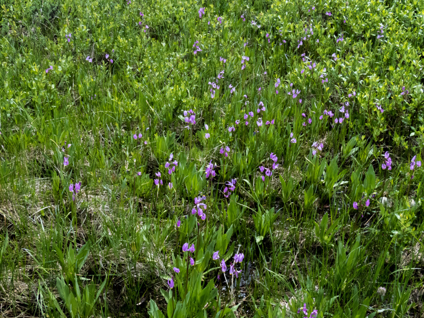
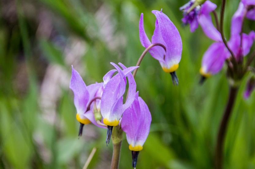
Back out into the open. The falls are in that valley in the background.
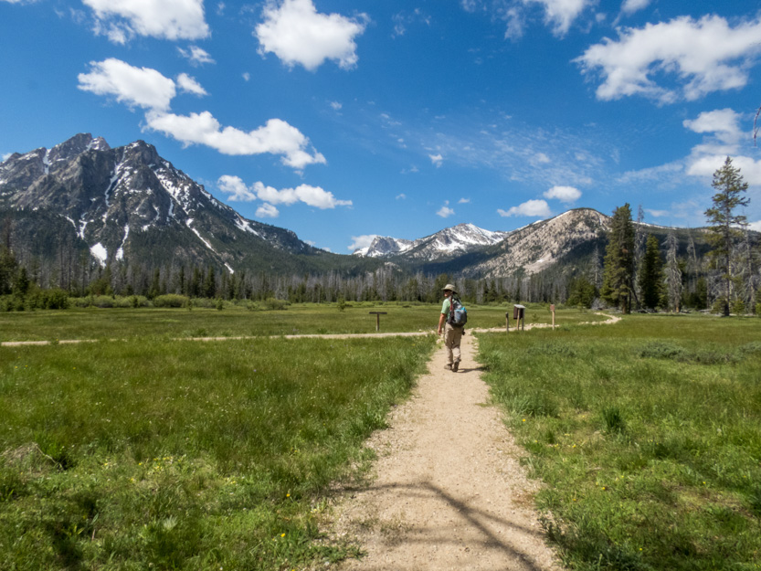
A wider view.
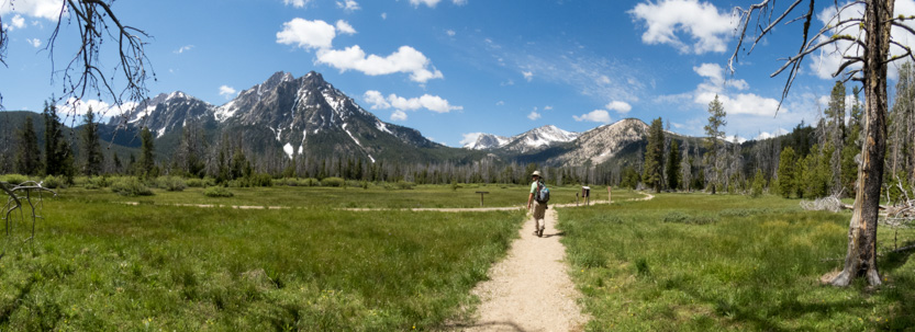
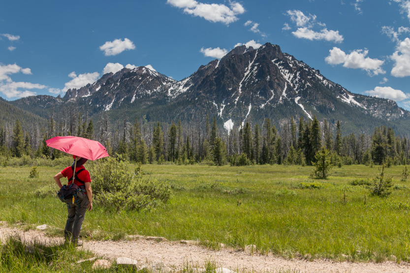
Jennie got ahead of me as I was taking so many pictures.
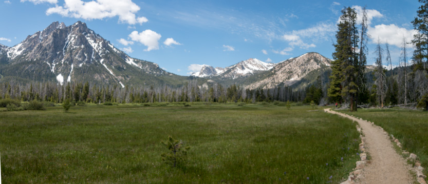
The photosphere.
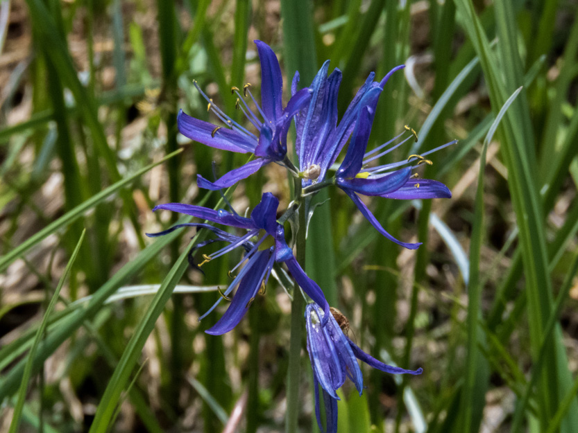
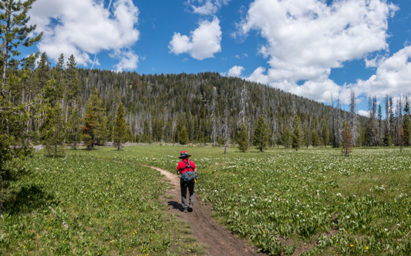
We were in the trees for a few short sections but they were mostly tall, dead pines, so not much shade.
After a short climb , the description said to look for a cairn and sign for the side trail to the falls. It was not much of a cairn.

Down the side trail.

To the falls area. I say the falls area because we couldn’t see the falls at all. The creek runs through a deep gorge. The far wall was vertical and our side was steeply sloped with sandy rock, where you could easily slide into the gorge. I was glad the trail in at least had some views because Jennie didn’t get much out of the falls.
This is the view of the gorge from where the trail ends.
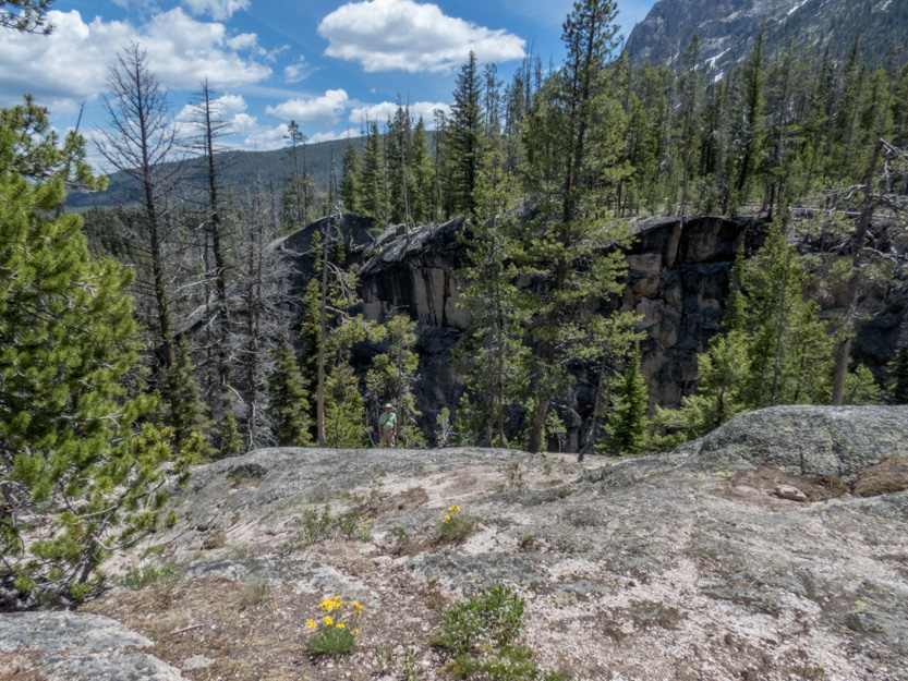
We tried going upstream but this is the only view we could get standing in a non scary place.

I climbed down a bit to get this one.

Jennie found a spot to wait while I scrambled around, trying to see if there was a place that she could get a view.

Later she came down to where I was standing and this is the best she could see.

I first tried to climb downstream. It was very steep and overgrown but I managed to get next to the creek.
This is looking upstream. I didn’t know it at the time but the falls are just out of sight around the corner upstream.

A photosphere.
I am going to repeat the picture of Jennie next to the gorge because the falls are actually barely visible off the left edge of her umbrella.

Once I realized that, I was off to investigate. The view from above.

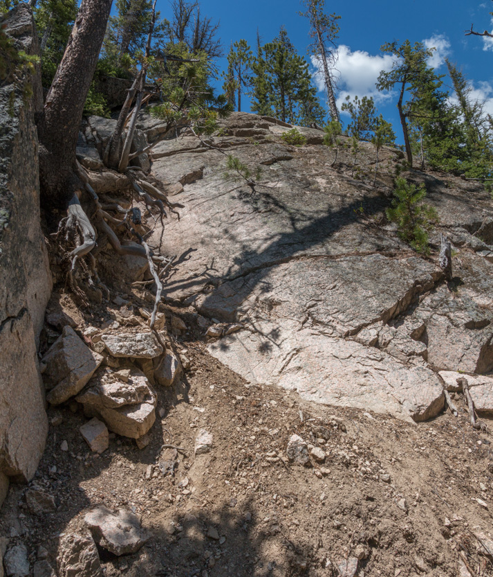
And after a very steep and slippery climb down. Even I was a bit nervous about doing it.
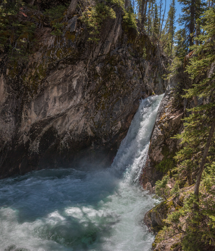
The photosphere.
Looking back downstream.

I had been standing near where this couple was taking a selfie.

Back up I go.
Lunch time. At least we could see the mountain.

Looking back the way we came.

A photosphere.
Eventually we headed back.
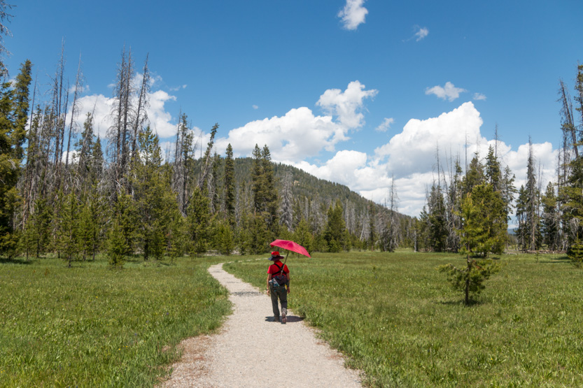
With the direct overhead sun, very little wind and even though the trail was flat it was a long, hot walk back. We were pretty beat once we got back to the car.
One final look.

We drove around to the lookout at the end of the lake. The sun was in the wrong place for a great picture but I will include one anyway to remember that we did it.

Then home for ice cream and a long nap, in the glorious air conditioning.
No comments:
Post a Comment