City of Rocks National Preserve is a collection of huge granite spires and weirdly shaped outcropping that just pop out of an alpine meadow.
I wanted to go on a weekday because it is a very popular climbing destination but the forecast has been lousy. It even called for snow there on Friday. Today however we had bright sunshine with not a cloud in the sky.
It made for a long driving day, as it is almost 2 hours each way. I took the blue way going and the top grey one on the way back.

Leaving the plains to head up into the mountains.


We made a quick stop at the visitor’s center in Almo, mainly to confirm my choices for the day.
Here is a map of the park.

Our driving path is in red. We entered from the left and first stopped at Circle Creek Overlook, then a quick stop at Treasure Rock. Finally we spent most of the day doing a hike in the area they call the Inner City, where most of the spires are located.
The Google Earth view.

It was a busy day. We got the last parking spot at the overlook. It is a short walk from the parking lot and we saw at least 6 or eight cars come up and have to leave.

It is mostly climbers here.
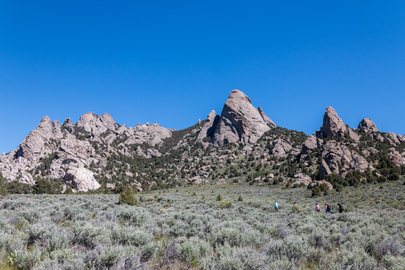
Overlooking the meadow, with random blocks of rock sticking up. The Inner City is off of the right edge, below.

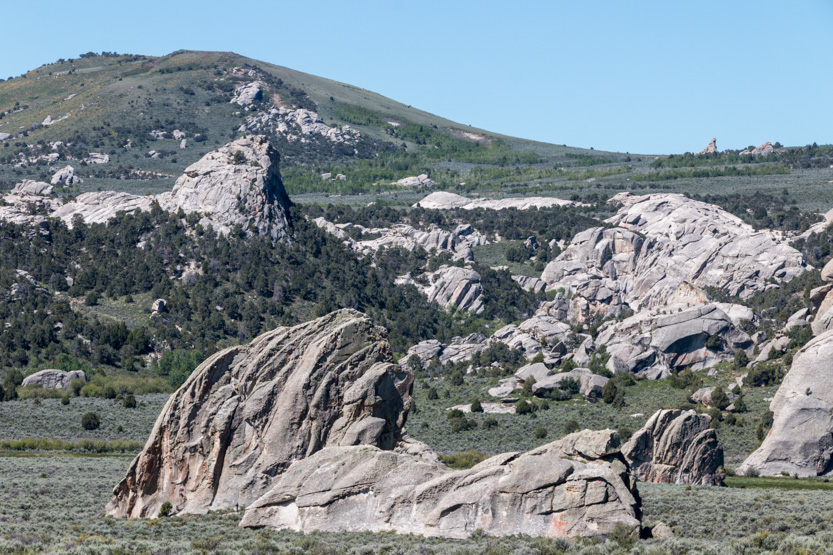

I thought this one had a face on the end.

A body and a head?

The photosphere.
To the south the road heads higher and around to the hike area. Treasure Rock is triangle in the foreground.

Back on the road, passing more weird shapes.
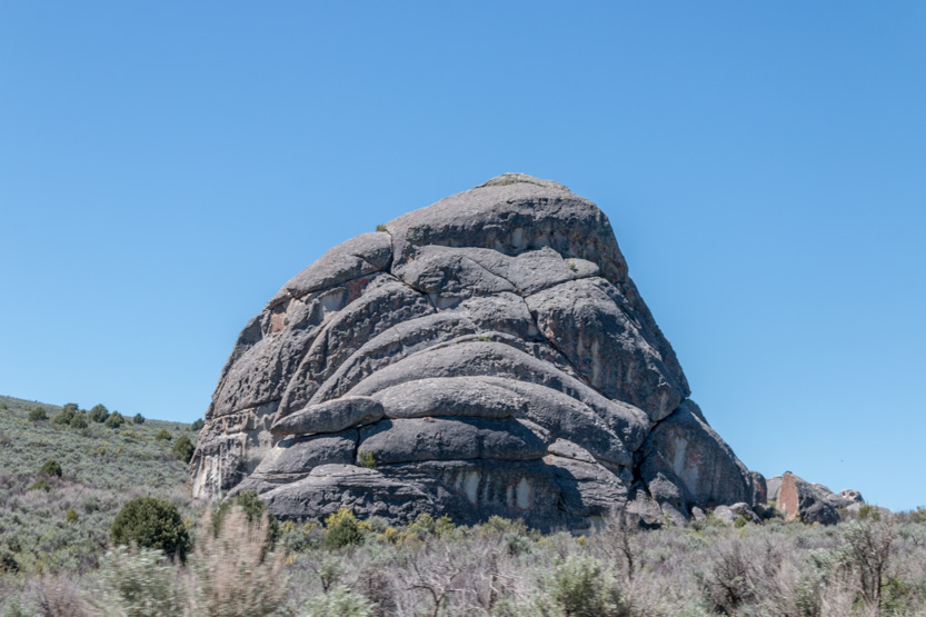
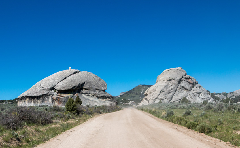
Treasure Rock, in a distorted panorama shot.

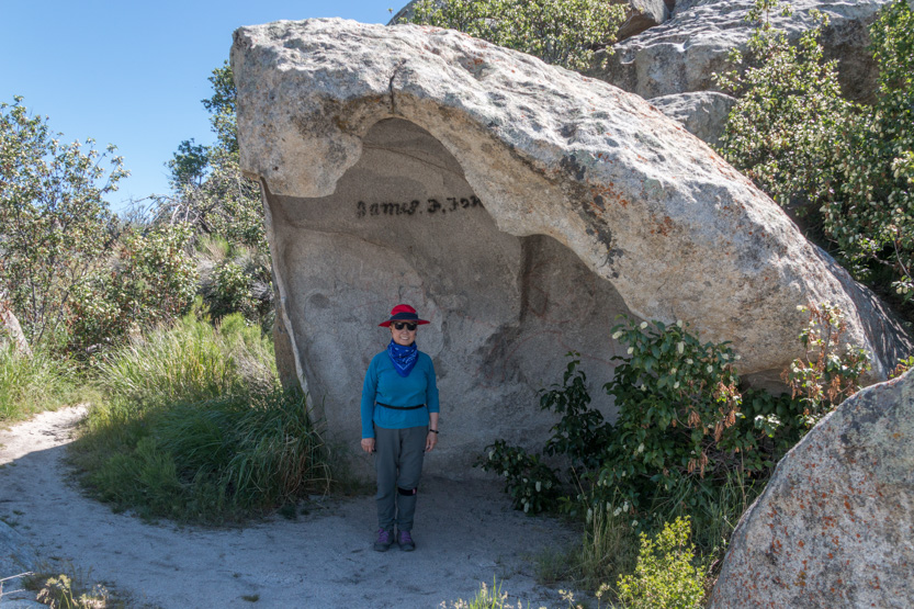
Looking back towards the Overlook. Notice the people in the hole, bottom right.

The photosphere.


As I said the park was rather busy, with most parking lots nearly full. The road through the park is dirt and very dusty. We never did have to follow anybody though.

Moving on to the hiking area we passed by Elephant Rock but I thought the name was bit of a stretch.

Here is a closeup of the hiking area that we did.

We parked near Bath Rock and took the Creekside Towers Trail, then the South Fork Trail and down. Early I had just looked at the map and thought that it made a nice loop but I didn’t look closely at the name of the bottom section. Creekside Tower Trail had a slight climb to it. South Fork went severely down. You can guess what the Stairways Trail did. I think the entire loop was about 3 miles.
I think this is the path on a Google Earth view.

Near the start was a short side trail to a great rocky overlook. Lunch time.


The photosphere.
All around we could hear voices and little ants on the rocks.

This mom and her seemingly small kids were climbing Bath Rock behind us.


On to the trail.

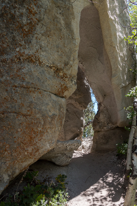


There were lots of climbers here.

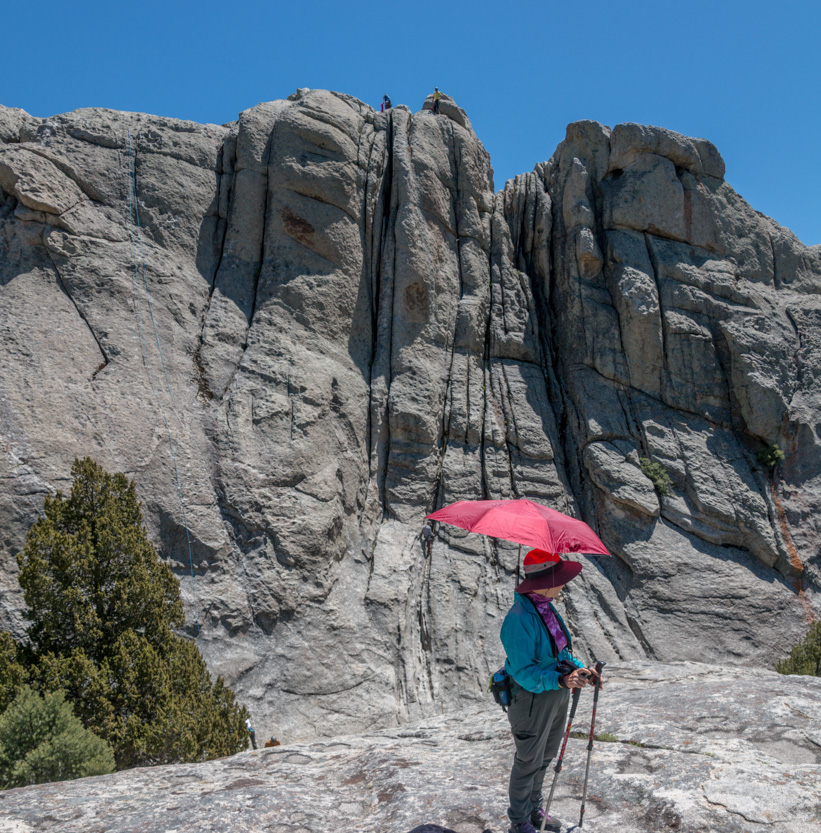
We climbed up this pancake rock for a better look.


Check out the guys above Jennie’s head.


The photosphere.
Every spire seemed to have someone on it.
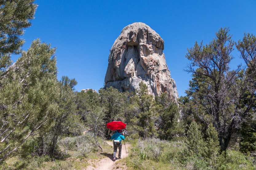
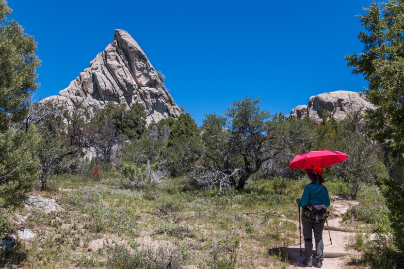

Look way up!

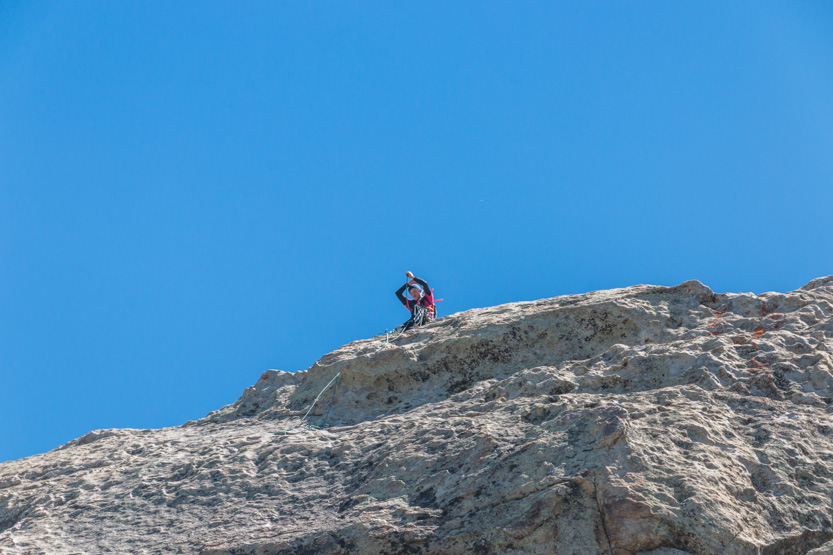
Heading back down the South Fork Trail.

A photosphere.
I know I am overdoing the climber photos but I like them.
This lady seemed to be having some problems because every once in a while she would let out a little yelp.

A side view. I would be doing a lot more than yelling out a bit.

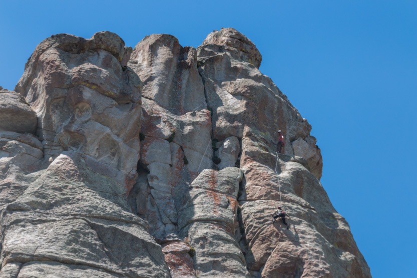
Into the trees for a while. The trail seemed to go down forever, which we knew meant a steep climb at the end.


Making the turn.

Some actual stairways.

A photosphere from a viewpoint during the climb.
A long rest partway up.

A look back at the top.

And on to the parking lot at Bath Rock.

Just down the road is the short trail to Window Arch.

From the other side.

I always have to climb around a bit.

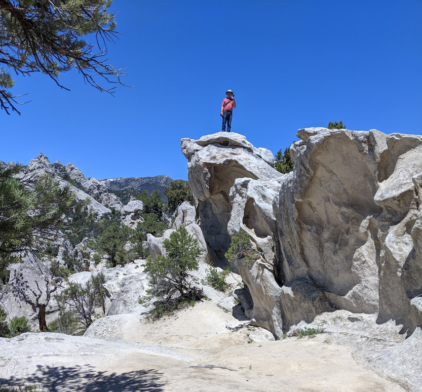
The photosphere.
The hike had pretty much done us in so we headed home, first passing by the Bread Loaves.

Just outside the park boundary we had a staring contest with these guys for a few minutes until they decided to let us by.

Exiting this way, it is about 15 miles of very smooth but very dusty dirt road until you get to some pavement.


Then back to potato country and eventually home.

No comments:
Post a Comment