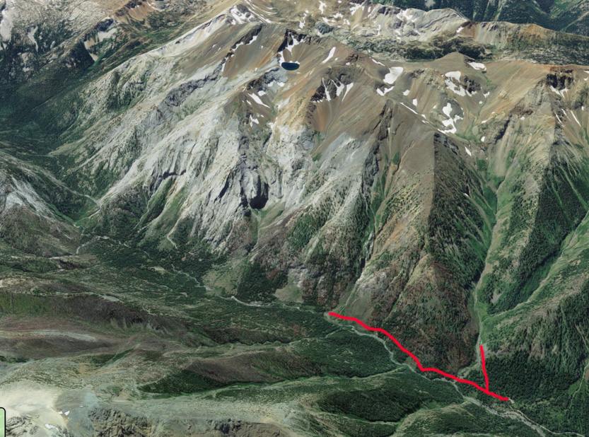
Today we drove about 10 miles south to hike a small portion of the 30 km long Hurricane Creek Trail. Near the start we took a short side trail to check out the falls on Falls Creek. Altogether we only did just over 5 km but we accomplished the goals I had set out. We wanted to see the falls and wanted to get a view of Sacajawea Peak, which is the highest peak in the Wallowa’s at 9839’.
A Google Earth view of the hike.

And a wider one.
It was only a short climb to Falls Creek Falls but the trail was obviously less used and rather overgrown.

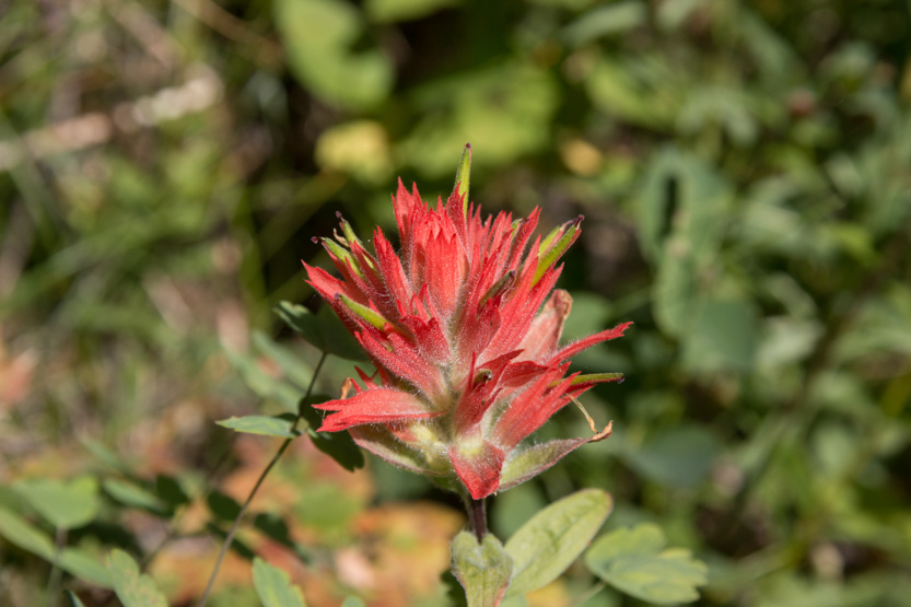
As always there were lots of wildflowers.


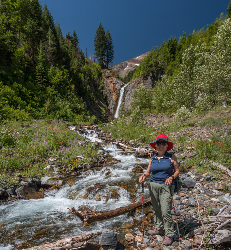
Our first view of the falls was partially obscured by a tree.
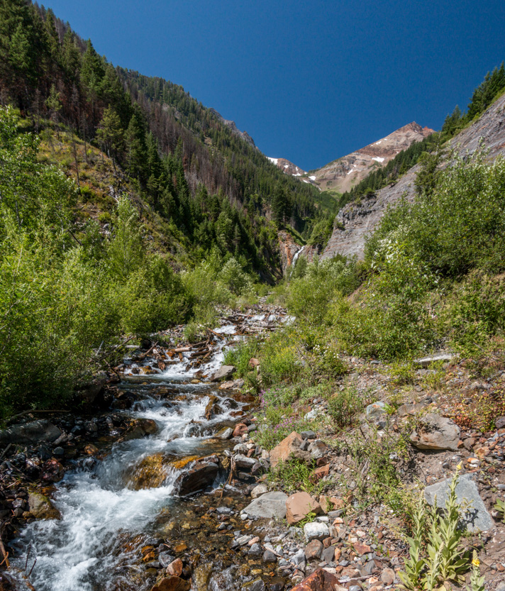
Heading up the rocky part of the trail beside the creek.

There were some steep and slippery sections. This section was at about 45 degrees.

At one point there were a lot of loose rocks and Jennie decided that she was close enough.
The photosphere.
An interesting wavy cliff beside us.
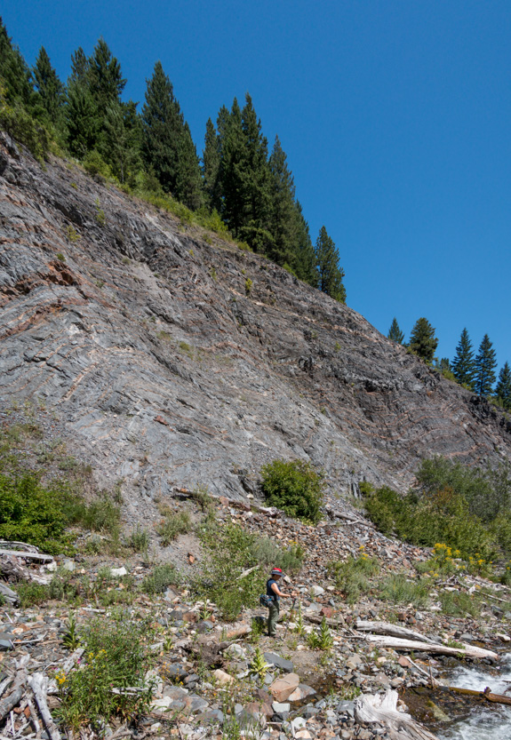
Jennie checked out the creek bed while I went closer.

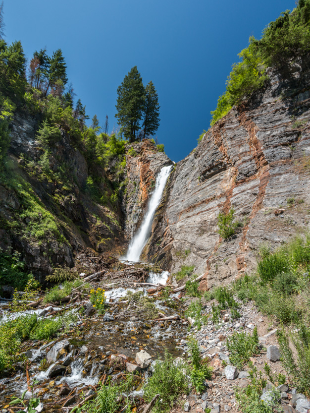
The closest I got.

The photosphere.
Looking back, the little black spot by the creek is Jennie.

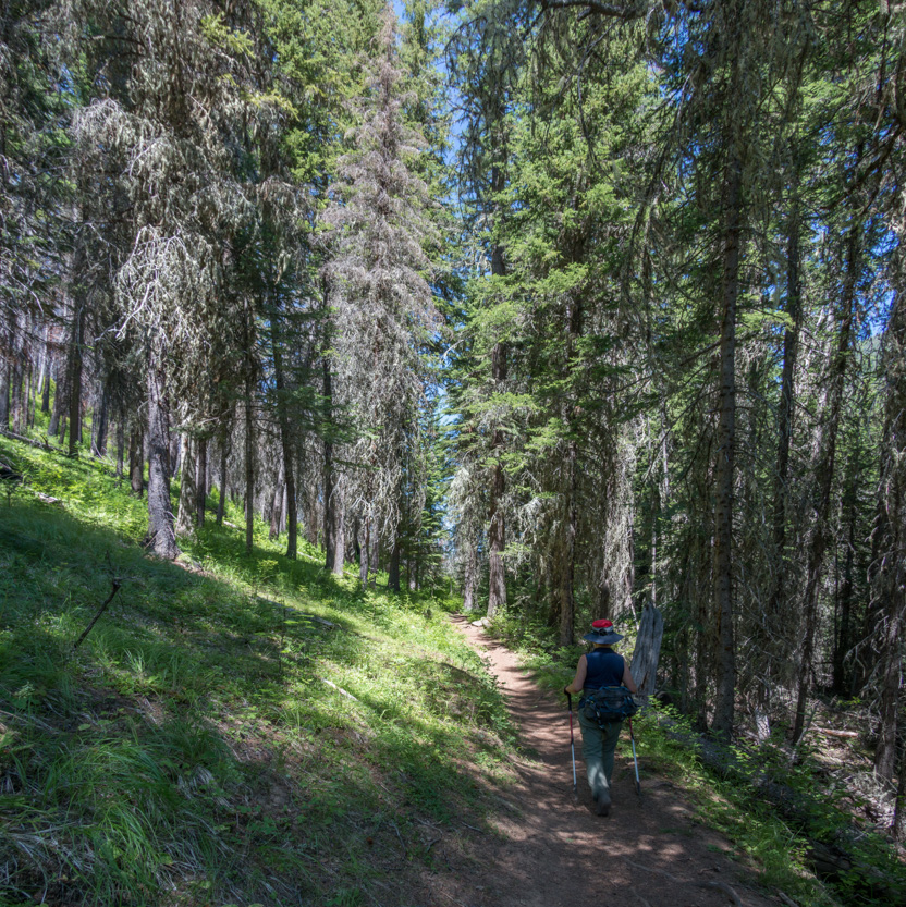
Continuing on the Hurricane Creek Trail, we were mostly in the tall trees for the first section. Some pictures are from the way back.
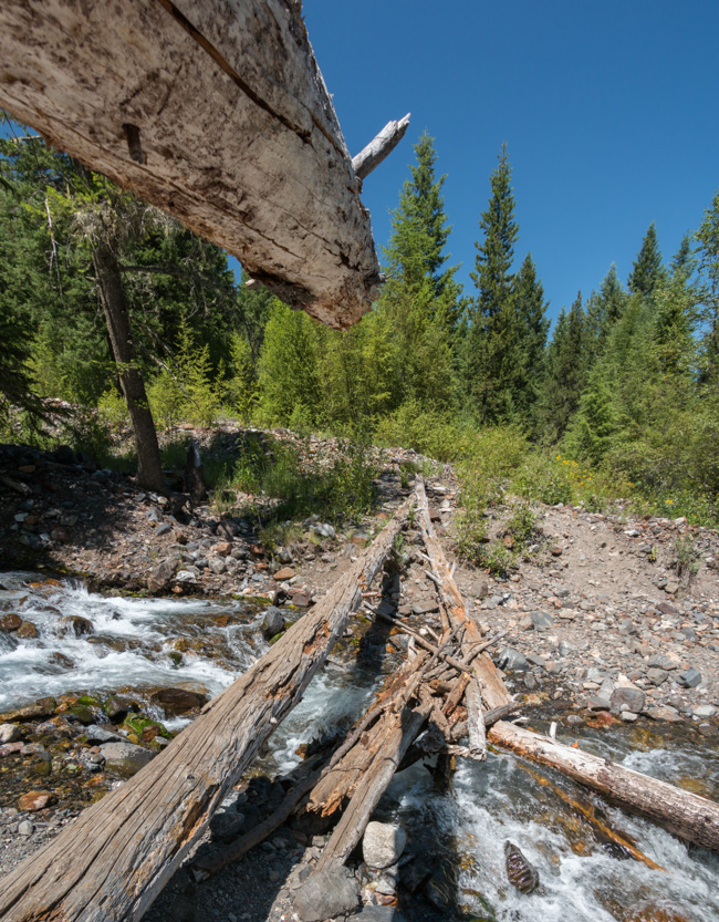
We had to cross over Falls Creek as it joined Hurricane Creek. There was no bridge, just some logs dropped in place.

We didn’t actually cross on the top log but used it as a hand rail and walked on the lower ones.

The photosphere.
We got to some open meadows just above the creek.
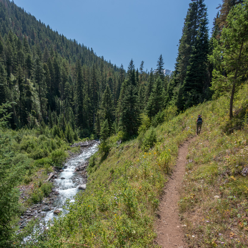
The photosphere.
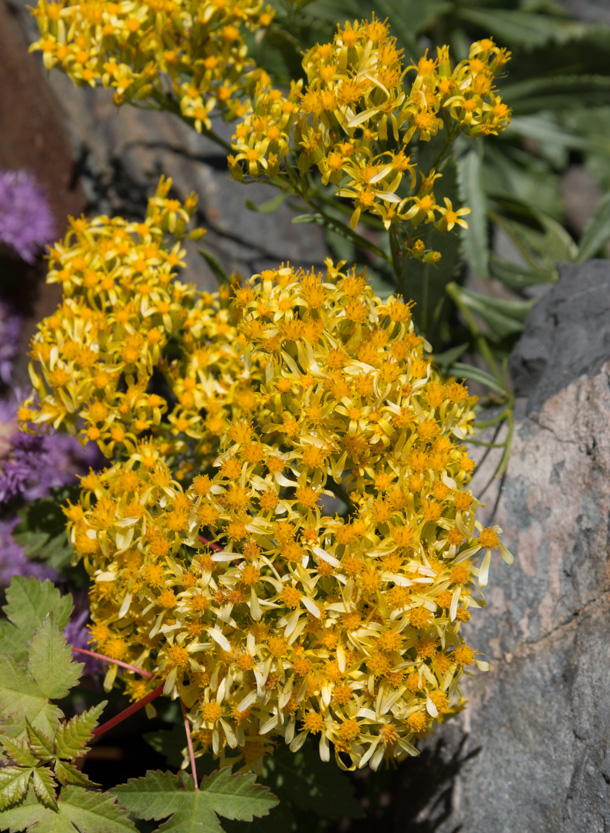
Again with the wild flowers.


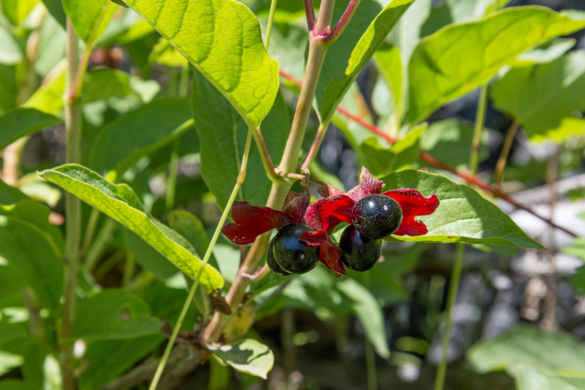
A bush with colourful little leaves and berries.
Our first good look at Sacajawea Peak.
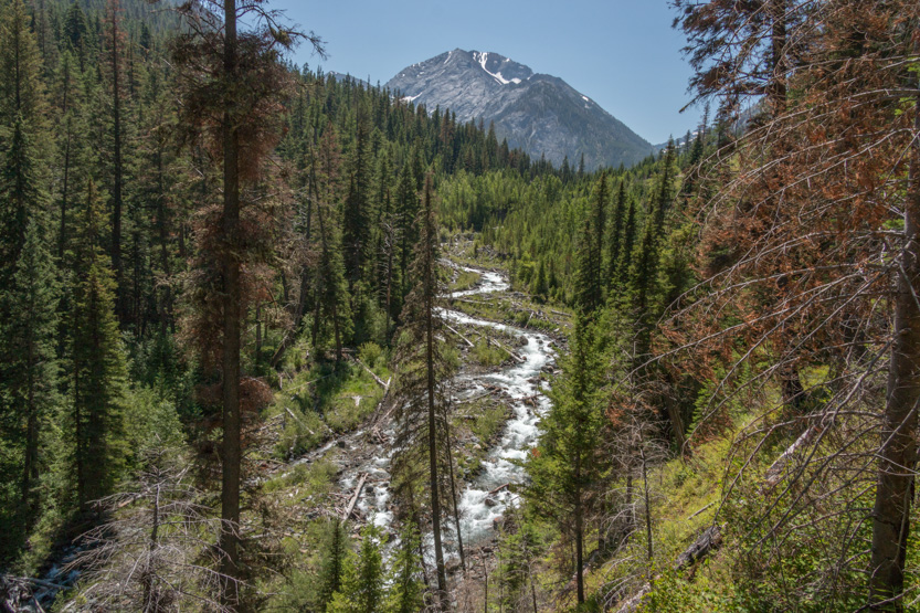
Along the creek again.

We went through a burned out area.

One very tall tree that refused to falls down.
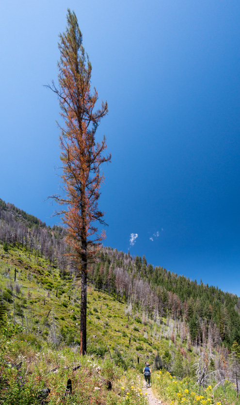
Looking up the mountain side.

Lots of smaller burnt out stumps with interesting shapes
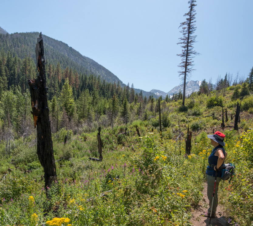
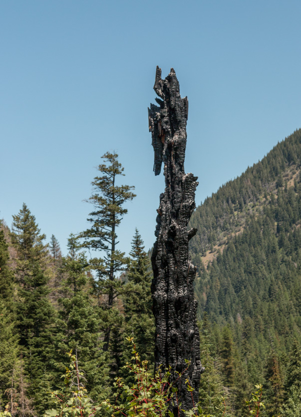
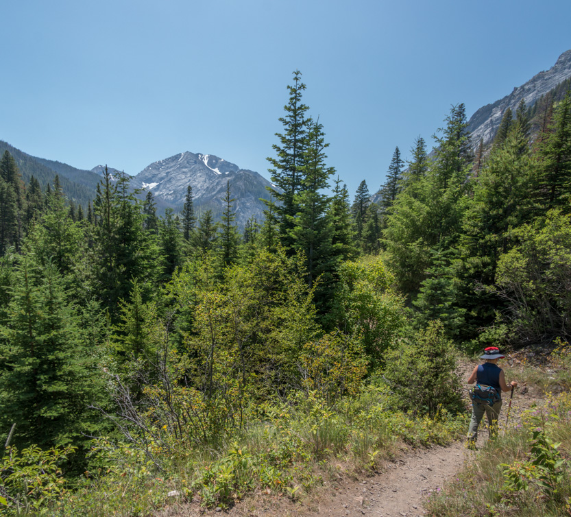

We crossed a small rock fall and decided that this was a good place to have lunch. We climbed down a bit closer to the creek.
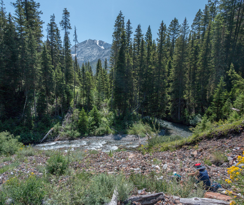
We also decided that this was a good place to turn around.
Back we go.
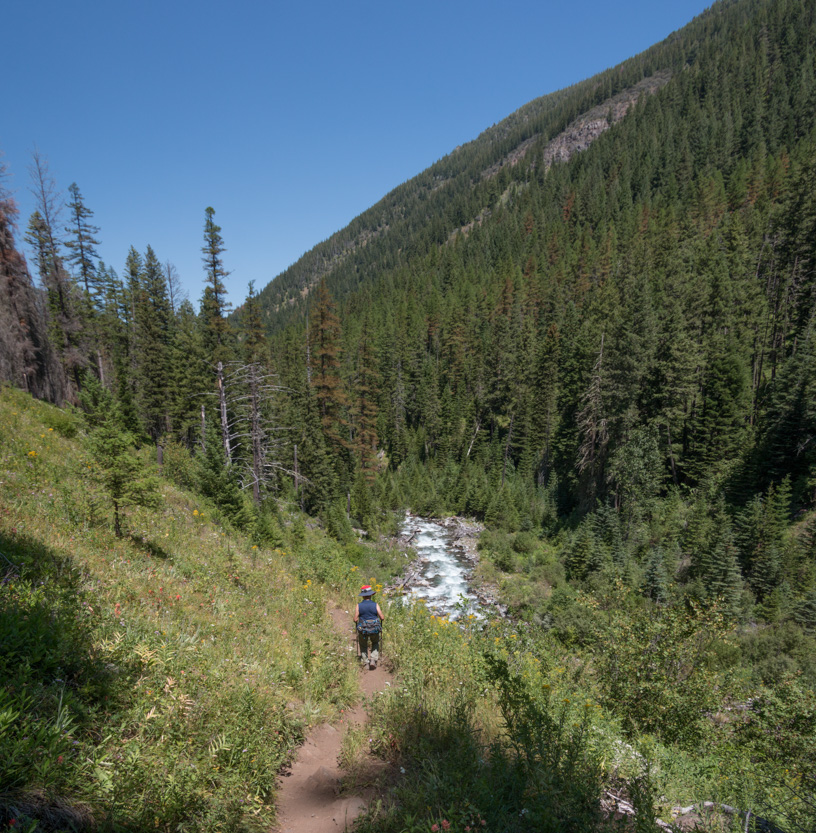
It was a great day for the hike with clear skies and cooler temperatures (high of only 24C). Tomorrow it is supposed to get hot again.
The campground is filling up for the rodeo that is on this weekend.
No comments:
Post a Comment