There were enough pictures for a short post today.
On our first day heading back east, we only drove for about 3 hours because there were some tough hills to climb and descend.

Heading north from Enterprise we did a long easy climb up to around 5000 feet.
Along the way we saw one of the antenna trees. I am not sure why they bothered to disguise it because it doesn’t exactly blend in with the real trees.

Starting just before the Oregon Washington state border we had to drop down into the canyon for the Grande Ronde River.

Going north, the grade down to the river is steep but not too bad. We go from around 4300 feet to about 1200 feet in about 10 miles. Most of the time just being in a low gear was enough the RV from going too fast. I only really needed the brakes for the sharper corners.
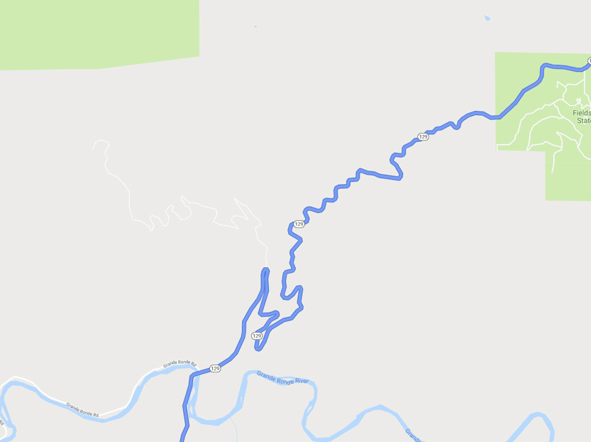
Even the section that look straight on the map were not.

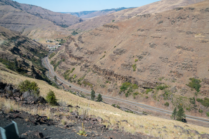
Below, you can see the road snaking down the right side of the canyon.

Only a few hairpins.

Crossing the river.

Climbing back out, the statistics are about the same, 1200 feet to around 4000 feet in about 9 miles but there are a lot more turns. It just seemed steeper and tougher.

It even has a name, The Rattlesnake Grade. I am glad that I was climbing it rather than going down. The highway was empty so I could calmly just chug up at about 20 mph. If I had to go down I would be very worried about my brakes overheating. There were a lot of pullouts so you had lots of opportunity to stop and cool them.
I would have liked to use the pullouts to get some pictures but they were always on the other side of the road and always seemed to be at the end of sharp bends where it would have been dangerous to cross the highway to park.
Up we go.


We used to be down there.


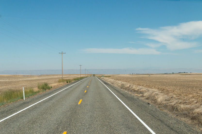
Once we were at the top we had a long, straight, gentle descent in to Asotin. I could almost let my foot off the gas and just coast most of the way.

All except for the last 5 miles where we dropped the final 1000 feet to 800 feet on a 6% grade. Again, not a problem.

We drove beside the Snake River for a short time.

Before heading east at Lewiston along the Clearwater River. We followed the river all the way to the RV park.
This section of the highway was fairly flat but when you follow a river valley you don’t get a lot of straight sections.


We are at the Long Camp Rv Park just outside of Kamiah, Idaho. I only booked a site last week and it is a good thing I did because they are full tonight.
Our site backs on to the river.


We are eventually heading to Missoula to hop on the interstate system for the rest of the way home. I only booked this site last week because the RV GPS had wanted me to go straight north to Coeur d’Arlene and get the interstate there. It takes about an hour longer that way but avoids the twist highway #12 across the middle of Idaho. I decided that I would rather take the scenic route and work a bit harder.
They say they have a farmers market at the campground on Saturday mornings. We will probably quickly check it out. We have a long (when driving the RV) 5 or 6 hour day tomorrow.
No comments:
Post a Comment