Today we did the drive and checked out all the viewpoints and short hikes around the south unit of Theodore Roosevelt National Park.
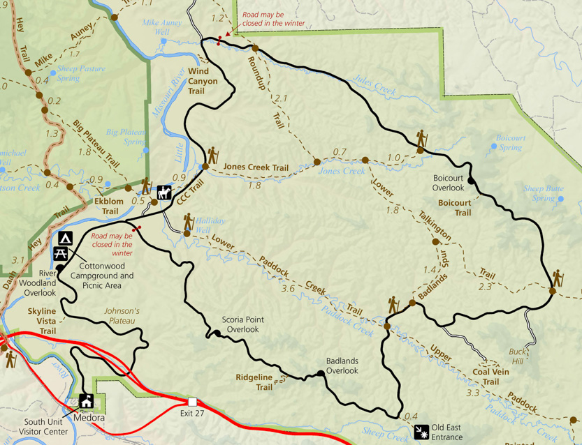
The entire loop is about 36 miles but the bottom section from the Y junction to the Badlands Overlook is closed. I think there s a problem with the road itself. So right now everybody has to do an out and back.
At Johnson’s Plateau we saw our first bison so everybody stopped even though it was rather far away.

All the little mounds of dirt are Prairie Dog burrows.

The Skyline Vista Trail was a short walk to a view down on the interstate.


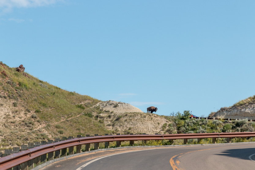
At one point we had to stop and let this big guy wander down the road past us.


We thought OK now we have seen a bison up close. We can check that off our list.
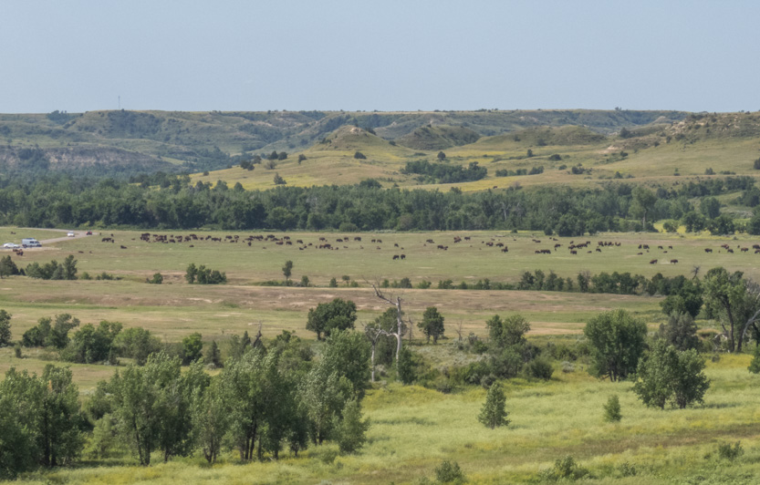
Then around the next corner there was a field with literally hundreds of them.


Again we had to wait as some of them wandered back and forth across the road.

One guy was perched majestically up on a ridge.
The next stop was the Windy Canyon Trail. It was actually very windy today everywhere. The hike goes along the rim of the short canyon out to views of the Little Missouri River. Then around and up a small hill for some all around views.
First to the canyon.

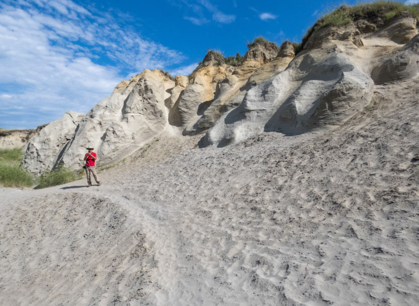
The official trail came towards me but we could tell that many people had gone down to check out the mounds in the canyon.

The photosphere.
It’s such a shame that so many people find it necessary to scratch their names into the hills.
Back up to the main trail.

And along the canyon.
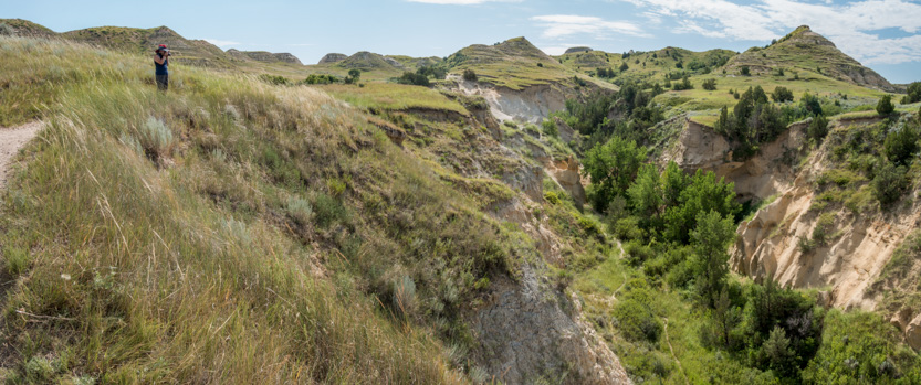
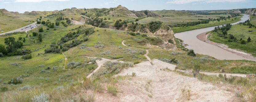
Looking south along the river.

Looking west around the bend below us.

The trail goes around to the outcrop partway down the hill and then climbs to the top of the hill on the right.

Looking south we realized that we could see the plain with all the bison.

Some eroded rocks to check out.


Peekaboo.


Once again looking south.

And west.

The western view from the top.

The photosphere.
Then back down to the car.
Moving on, whenever you see people pulled over for no apparent reason, there is always a reason. Some feral horses were up on a ridge and in the valley below.


We did things a bit out of order as our next stop was the Coal Vein Trail. A lightning strike had caused a vein of coal to ignite and burn for 26 years. It finally went out in 1977.
As the coal burned the ground above it collapsed and created this sunken field.

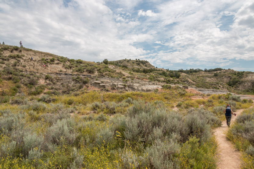
Off to the left, I am not sure mom would approve of what grandma is letting theses kids do. It was a very steep cliff.

It was near this hill that the fire finally went out. Near the end a brochure said that people used to come out to watch and sometimes roast marshmallows over some of the vents.
Jennie still has a bad cough from whatever it was she had. The wind is blowing up a lot of dust which was really bothering her so she put on a face mask.

We think that the black line is lignite coal.



The trail went by this knarled tree.

The photosphere.


The fire created this chimney. A crack allowed the fire come up and bake the clay. The official name for the rock that is formed is a clinker.
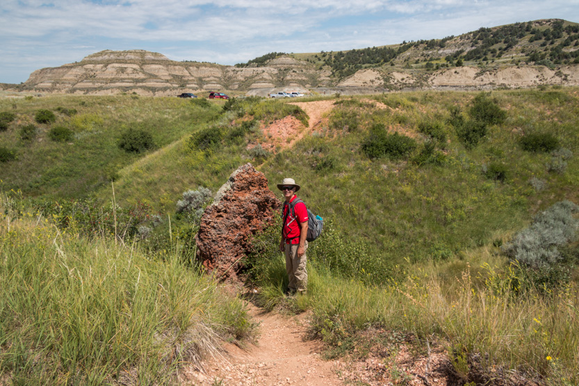
Then finishing the loop back to the car.
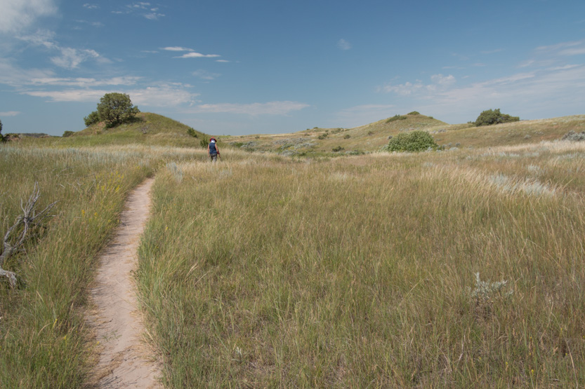
We went as far as we could on the road to have lunch at the Badlands Overlook.


The photosphere.
Backtracking we stopped at Buck Hill for a short climb.


Taking this photosphere.


I am such a daredevil.

We walked a short way along the ridge.

And then just sat and started for a while.

Heading back to the top and then down.


Our final stop was the Boicourt Trail.

The official trail ends early and has a nice view but everybody goes on to the narrow point in the distance for much better ones.


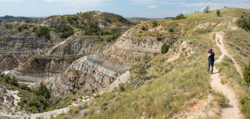


At the end.

The photosphere.
Heading back to the car and home.

No comments:
Post a Comment