Yesterday Jennie got some retail therapy and as we are in the city and everything is close, I didn’t have to go so she could take her time.
Today we drove about 30 miles east, back into lava country, to climb up to Chimney Rock. As it is still the long weekend I wanted to do something that I hoped would be less busy. We only saw 8 other people on the trail.

Once again I had somewhat guarded expectations from what I had read but they were far exceeded.
We had originally planned to just drive there, do the hike and come back the same way but once we started driving up the twisty road north to the trailhead, we knew that we would continue to the end.
It’s called the Crooked River Highway and is at the bottom of a deep canyon, lined with vertical basalt pillar walls.
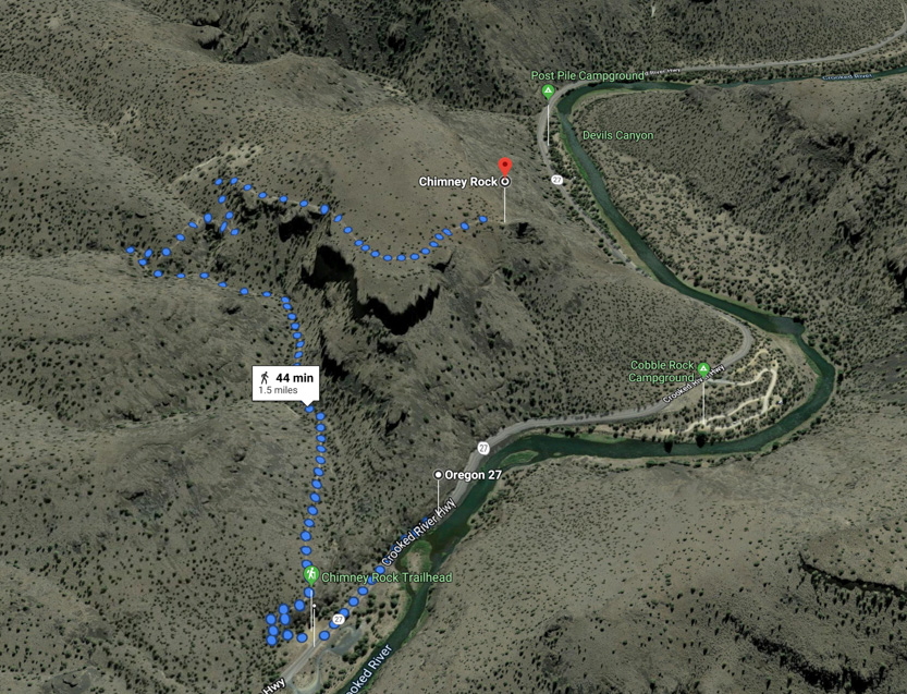
The trail is a 3 mile (5 km) out and back that climbs about 550 feet in elevation. It is a steady but not gruelling climb up the long valley and then the switchbacks to the plateau. From there it is flat around to the mini Devil’s Tower called Chimney Rock that sits on top of a point out over the valley.
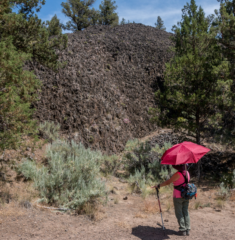
This very black basalt wall was at the parking lot. It was another hot day with very little shade so out came the umbrella.
At the start there were some short, steep switchbacks to get us in to the valley. Looking down at the campground across the road.

A photosphere. I didn’t realize it at the time but we could see Chimney Rock.
I knew that we had to climb to the top of the plateau, below, but I didn’t tell Jennie.

There were lots of strange outcrops on the hills beside us.

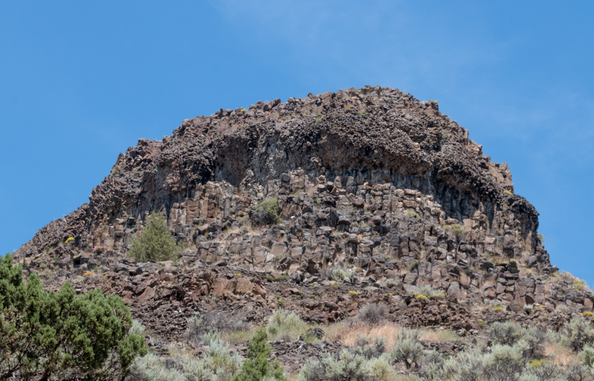
A side view.

It looks even weirder in this shot I took later from above, like its top layer had slid off.

A photosphere.
Looking up, but it is getting closer.

Another very shattered outcrop.


After the turn at the end of the valley we looked towards the plateau.

Looking back down the valley, we could see the path at the bottom.

The last switchback.


We first had to go around a deep side valley.


And up the switchback.

Off in the distance we could start to see the mountains west of Bend.


It seems that on every trail we have to be startled by of these at least once.

On the plateau working our way around the edge.

There is a bench at a viewpoint part way along.

A photosphere.
Looking down on the campground and the highway as it goes around a horseshoe bend in the river.

On the way back I got the drone out here for a few shots. Some people came up so I didn’t fly very long. It is really loud.

Us, down in the bottom left corner, below.

A drone version of a photosphere, out over the valley. You can see most of the trail as it works its way up. Make sure to full screen it.
Moving on, at the western edge of the plateau we could finally see Chimney Rock.

The photosphere.
And a slight downhill to the end.
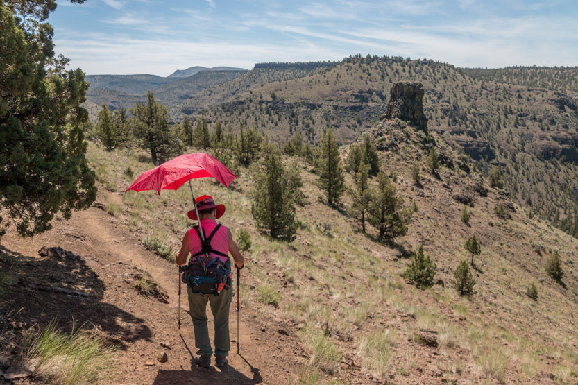
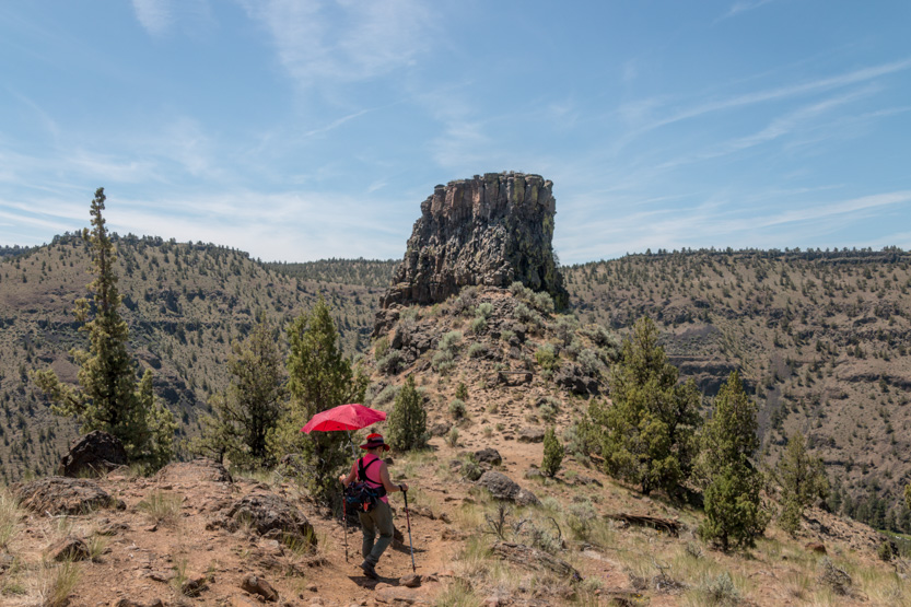

Someone had climbed it to put up a small flag.

Another bench, for lunch time.

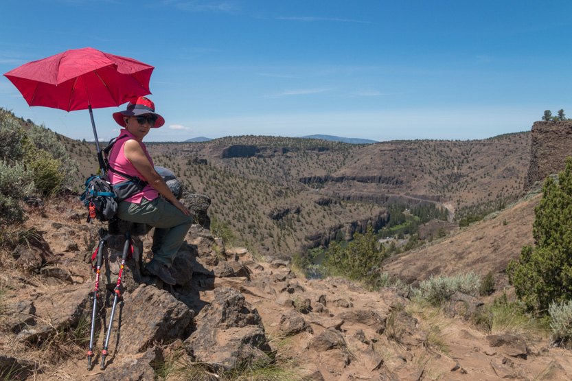
A photosphere standing next to the rock and another near the bench.
Since no one was around I got the drone out.

Looking south.

Looking north.

I think I should have done a few shots from down lower with the rock silhouetted against the sky. I am still learning what works.
I really like these drone versions of a photosphere. Again, make sure you full screen them.
Then it was time to head back down the way we came.
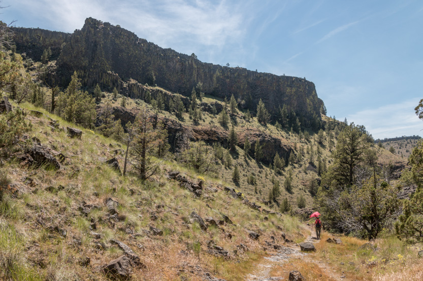
Back at the bottom we couldn’t see the rock from the trailhead but we could from across the highway in the campground. That plateau looks like it is a long way up.

Heading north on the highway there were lots of steep walls to look at. We didn’t stop and I just took a few pictures because the sun had taken a lot out of us. We were pretty tired and crashed hard into bed when we got home.


No comments:
Post a Comment