Today we drove up into the mountains west of Bend to hike the Ray Atkenson Memorial Trail near Sparks Lake.

Driving up you get a few good views of the mountains. This is Mount Bachelor with a ski resort on this side.

And a little farther along we can see South Sister and Broken Top Mountains.

The hike is a 3.7 km loop with very little elevation change.

If you do it clockwise, the section away from the lake takes you to some interesting lava features and then you end along the lake with great views of the mountains.
Away we go.

Flowers growing out of the smallest bit of soil.
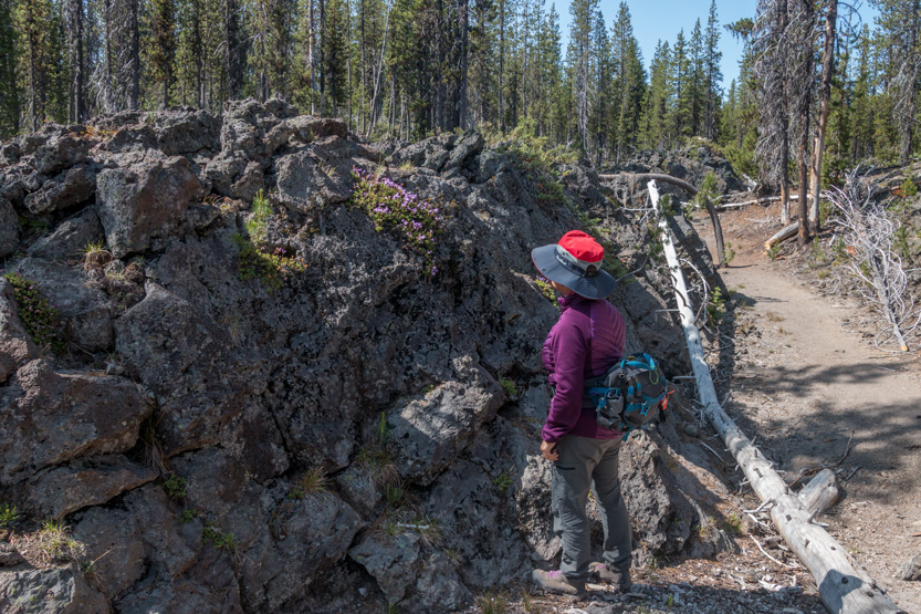
A very jumbled up landscape with some deep cracks to watch out for.


Jennie didn’t want to get too close. It was a very narrow slot that dropped about 20 feet, with snow at the bottom.
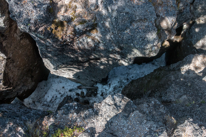

A photosphere.

Sometimes the cracks were wide enough that the trail went through them.

I always take a picture of the columbine.

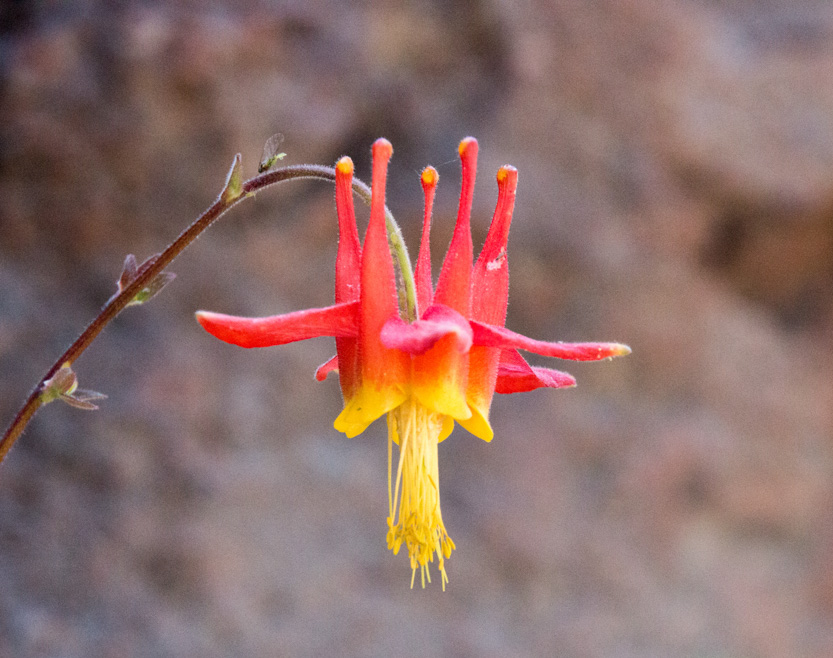
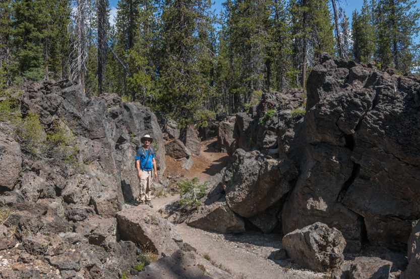
Again, the tiniest crevice will spout something.

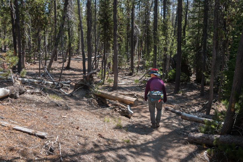
From the shortcut point to the top of the loop we just walked through a pine forest. It was not terribly interesting but we assumed it must be taking us to something.
That something turned out to be a somewhat obstructed view of the other side of Mount Bachelor.
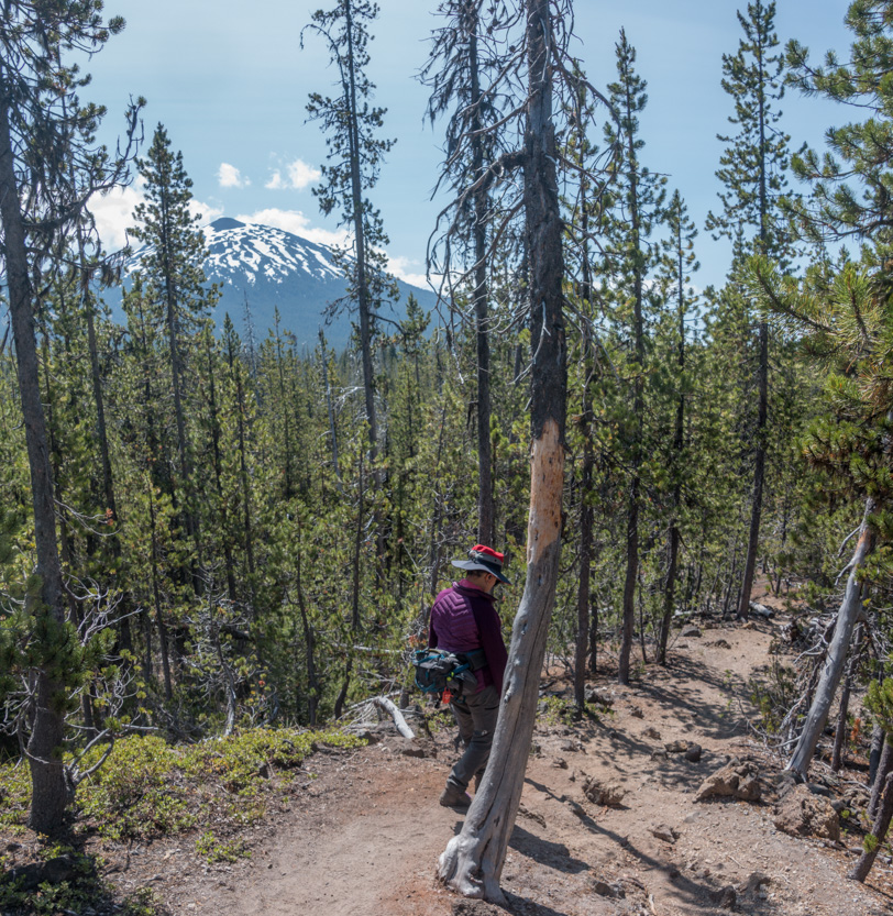
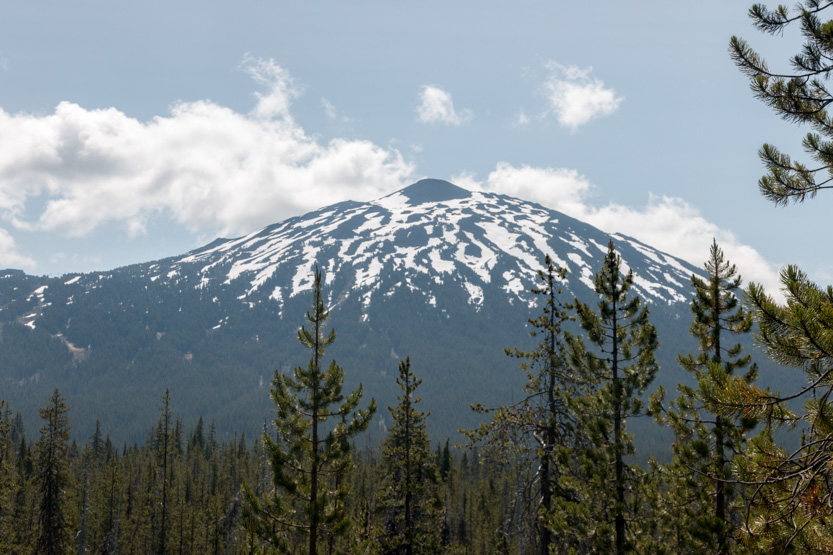
We love the little red tips on these pine trees.


At the top of the loop you come to some enormous depressions. I am not sure if they were craters or collapsed lava tubes.
To gauge the size, you can see the tiny red shirts of two people on the far side having a snack.
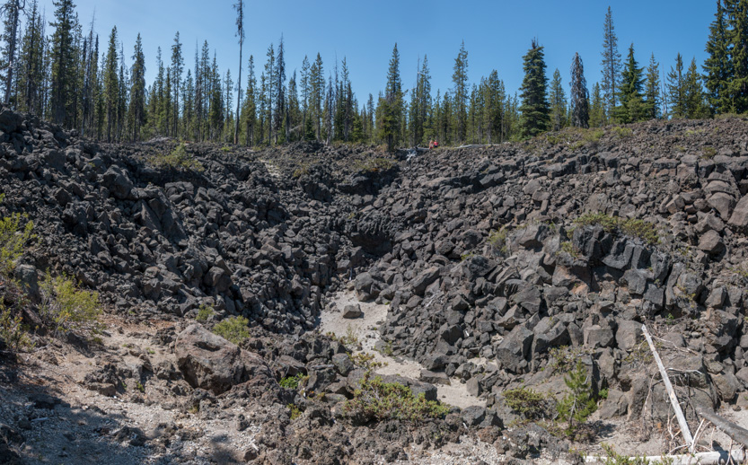
A photosphere.
Farther down the valley. You can still see the red couple.
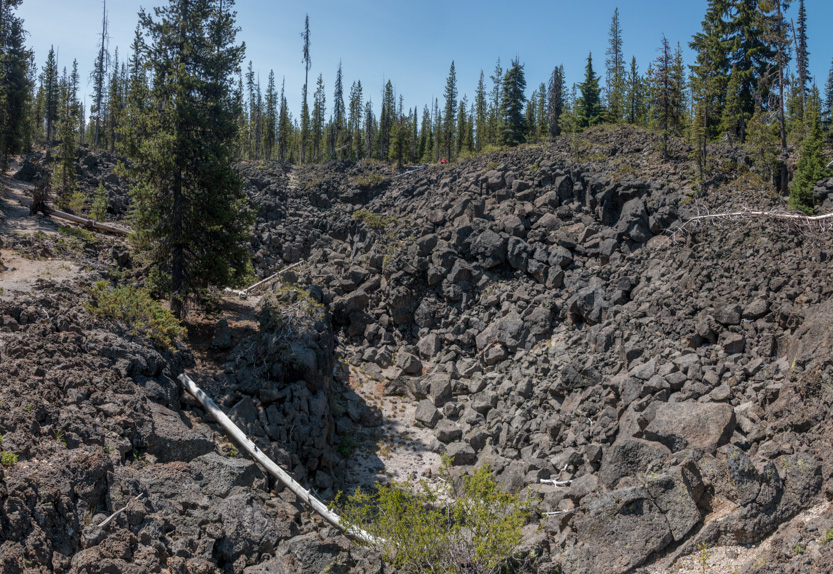
A photosphere.
Onwards.
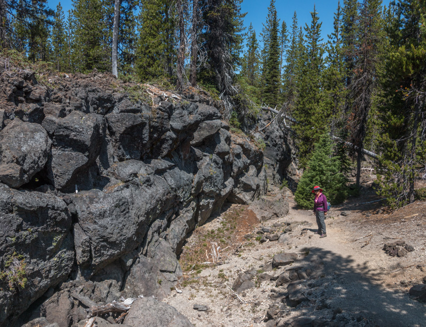
There is a little side trail that parallels the main trail called the Davis Canyon Loop. I’m not sure why it isn’t part of the main trail but it does have some narrow sections.
A shot from the start, looking down.

And then down on the trail.
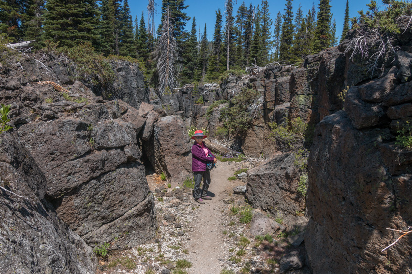
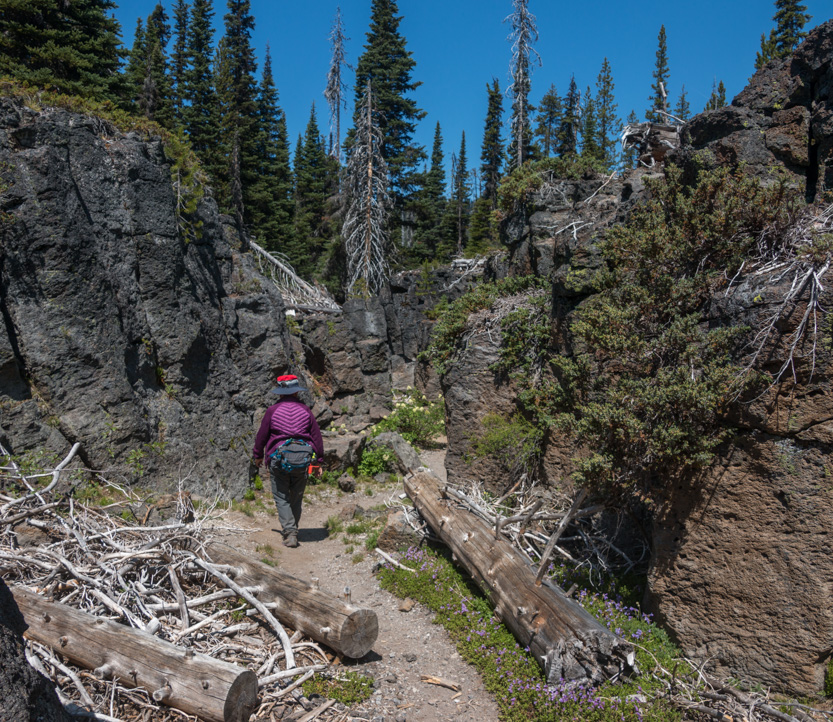
The log was surrounded by flowers.

More flowers on the walls.

The narrowest spot.
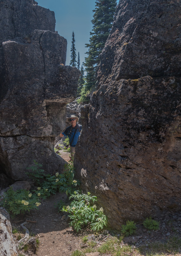
A photosphere.
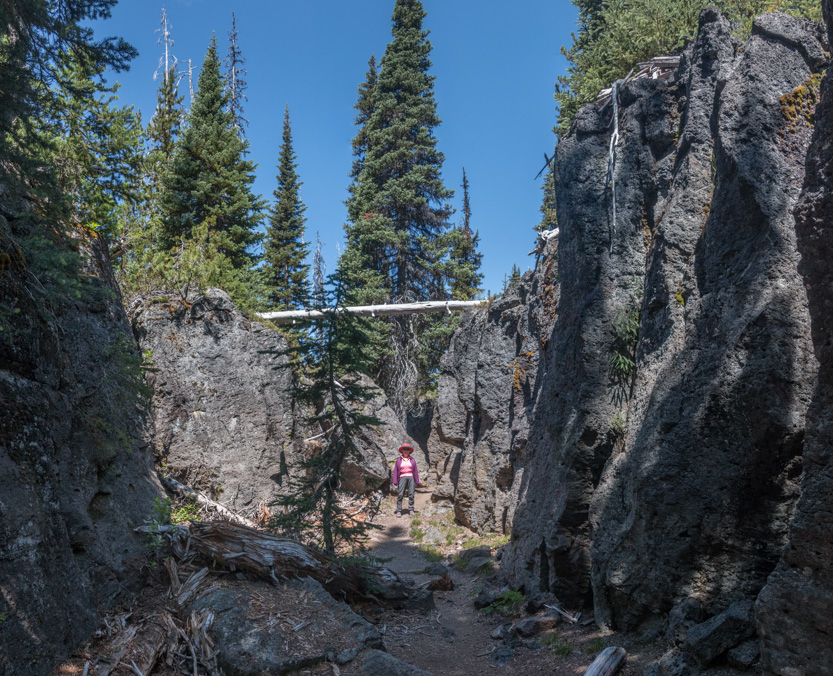

I think this was the most interesting part of the whole trail.

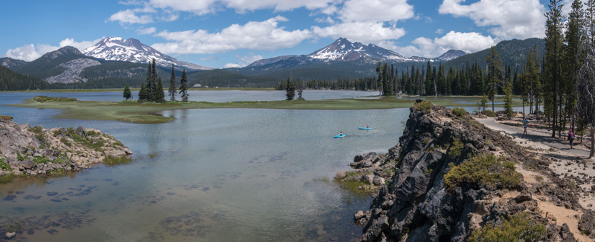
Back on the main trail we eventually made it to the lakeshore, with the mountains in the background.
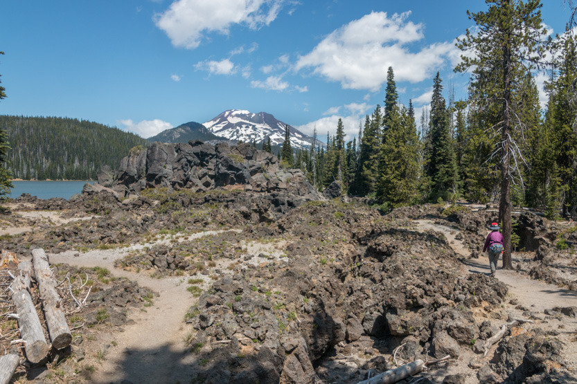
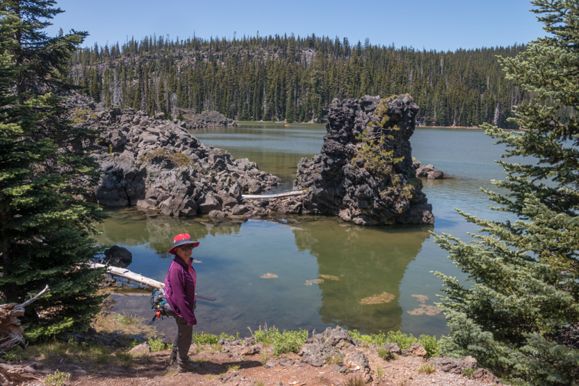
Sparks Lake is caused by a lava dam and has no surface outlet. The water just leaks through the lava. It is shallow and has lots of nooks and crannies for the kayakers and paddleboarders to explore.


We are almost back at the start.

The wide view.
There was a nice bench for lunch.
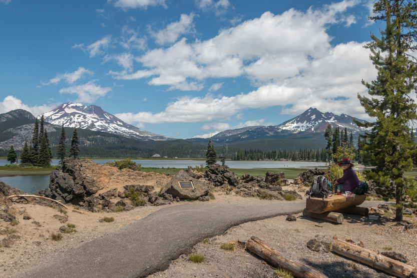
The photosphere.
South Sister.

Broken Top.
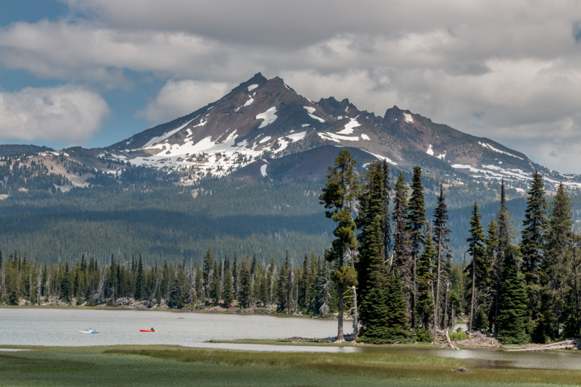
Continuing on. This section of the path was paved.

Jennie wanted to feel the water.

We stopped at the boat launch to watch the flotillas coming and going.
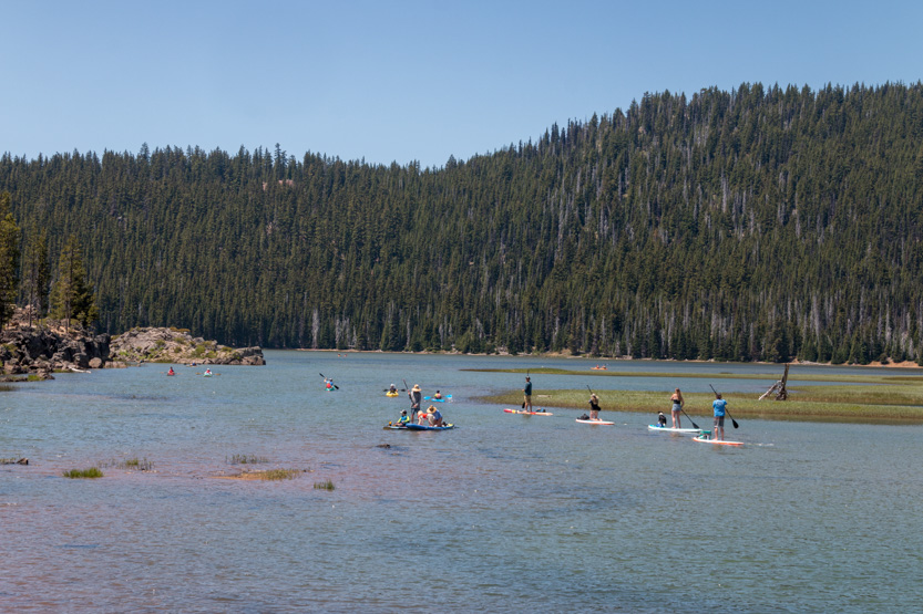
It was still early and there are other trails in the area but one look at the full parking lot here and the cars parked far down the road, helped us decide to come back another day.

On looking at the pictures, the lava features were far more interesting than conveyed here. I guess it is another place you have to see for yourself to get a true feel for it.
No comments:
Post a Comment