Today we did the long drive to Taylor Head Provincial Park and the long, for us, hike around Taylor Head.
I had read that this was a great, must do hike but with a 1 1/2 hour drive to get there, I was really hoping that we wouldn’t be disappointed. We were not. However I had also read the drive itself was worth it for the scenery. It was not.
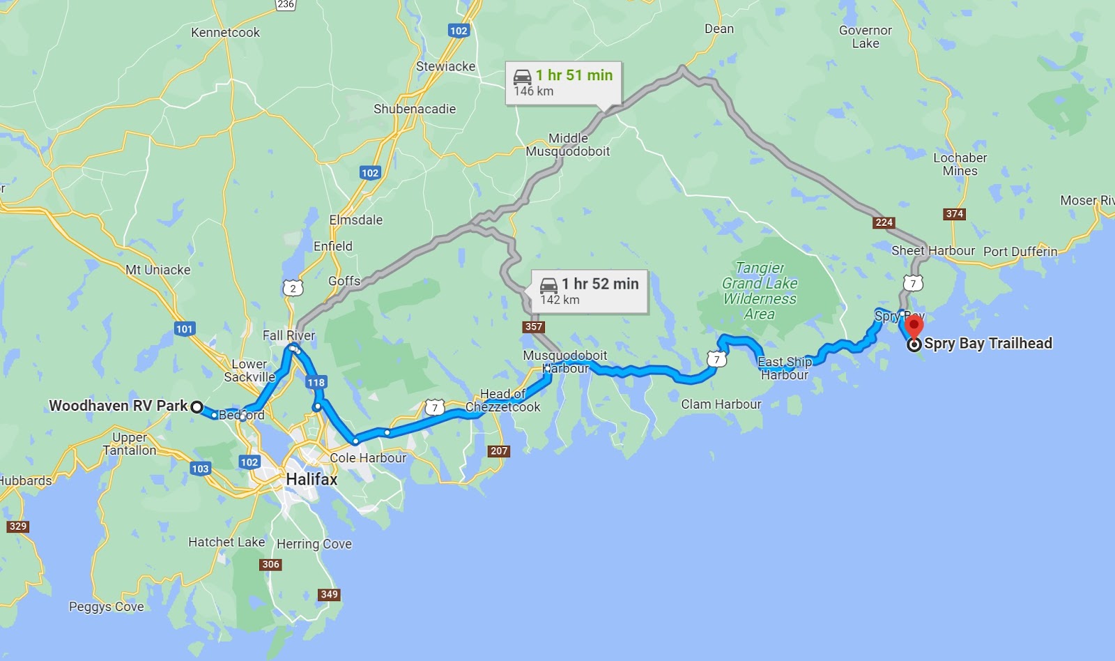
The provincial park is on a long narrow peninsula sticking about 7 km out into the ocean.
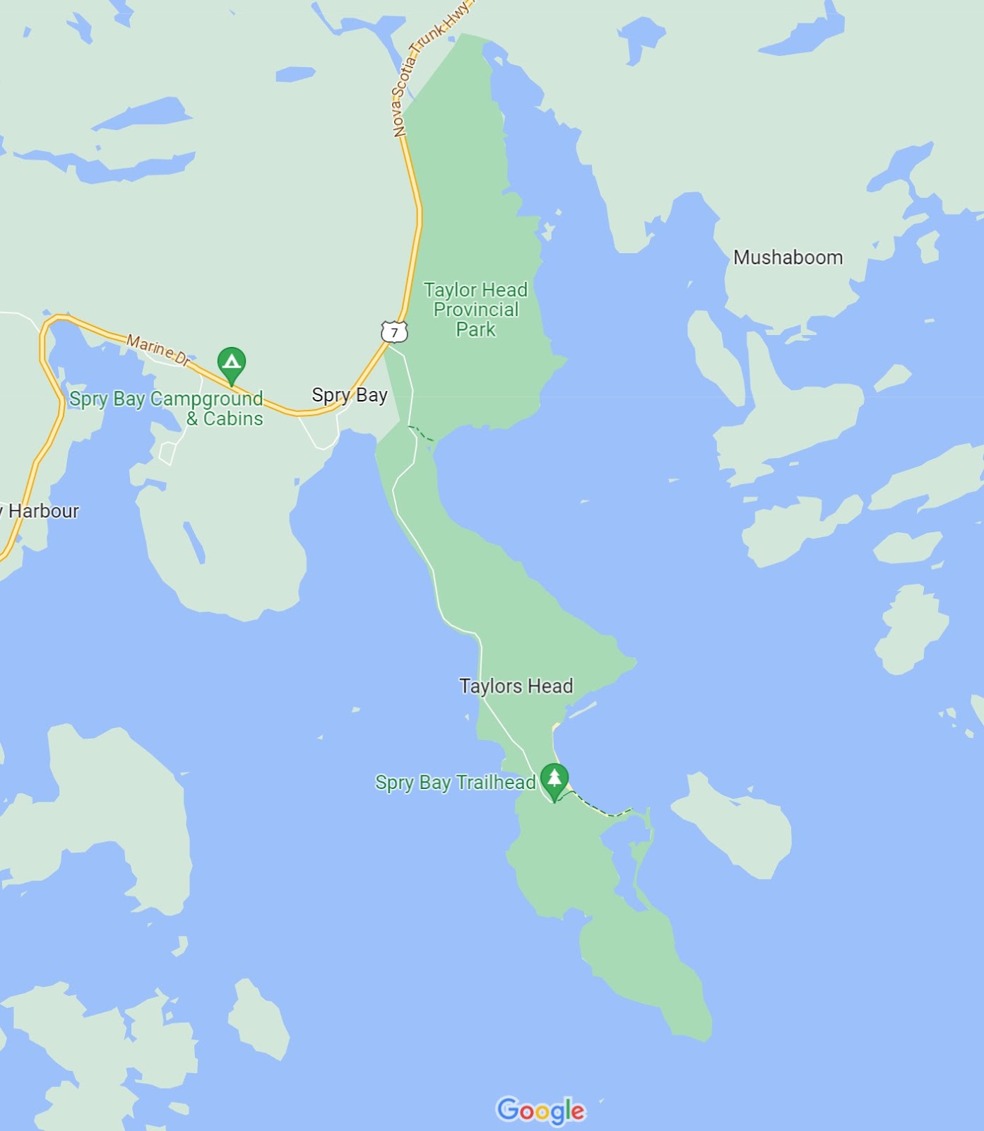
There are several hikes out near the head. The two we were potentially interested in were in a figure 8. The Spry Bay Trail was the first loop at about 4 km. If you didn’t close the Spry Bay loop and continued to the Headlands Trail all the way around the head it was just over 8 km.
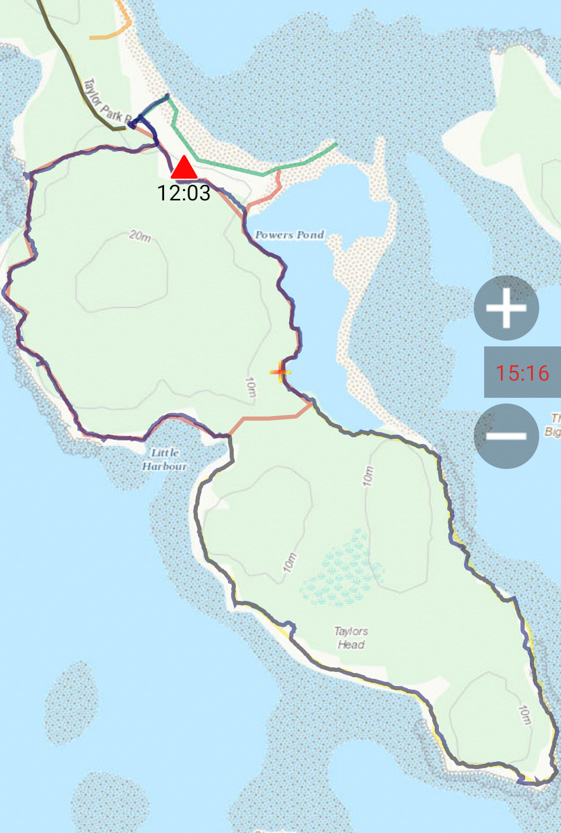
We did the hike in the counter-clockwise direction and I am really glad we did. The scenery on the west side of the head was spectacular while the trail on the east was a rooted muddy slog with only the occasional view. We were initially only going to do the upper loop but the scenery was so amazing that we continued on to do the whole trail. If we had started on the east side, with the trail being so bad, I am sure we would have just cut across the middle and only done the Spry Bay Trail and missed out on some great views.
Most of the trail was quite muddy. If we were in the forest at all we could count on trying to maneuver over lots of wet muddy spots. Since it hadn’t rained in a few days most were at least partially dry enough that we could get around them.
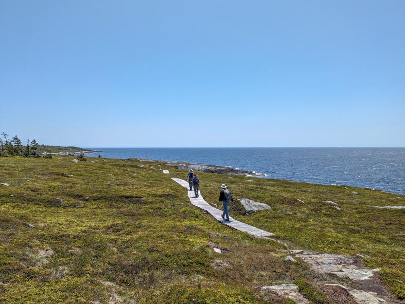
Heading from the car across to the west coast across a bog.

The photosphere.
A new flower, mountain laurel.

We see this lichen everywhere and always expect it to soft and spongy but it is very stiff and brittle, reindeer lichen.

We made it across and the stunning view began immediately.
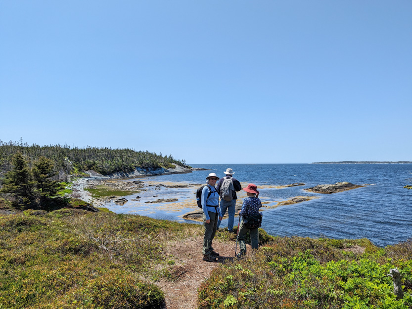
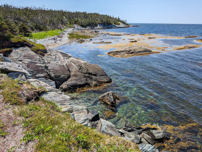

A photosphere.
Off we go


A photosphere.
Looking back from the top of the stairs.
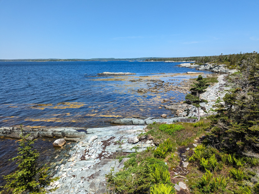
And into the forest for a while.


Then back out into the open.

To our lunch spot.
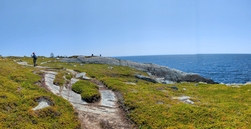
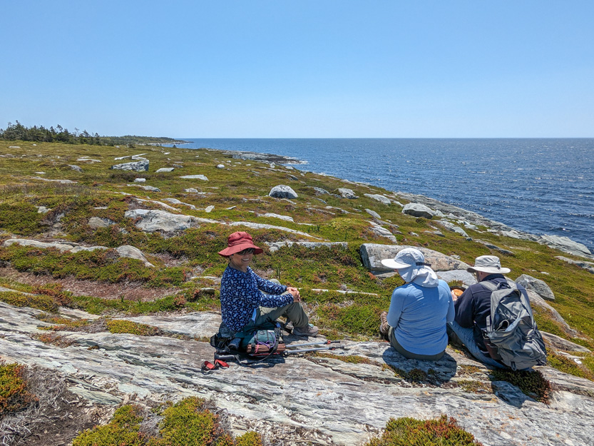
The photosphere.
Onwards.
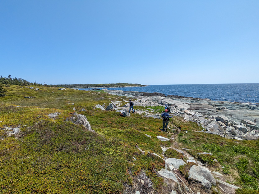
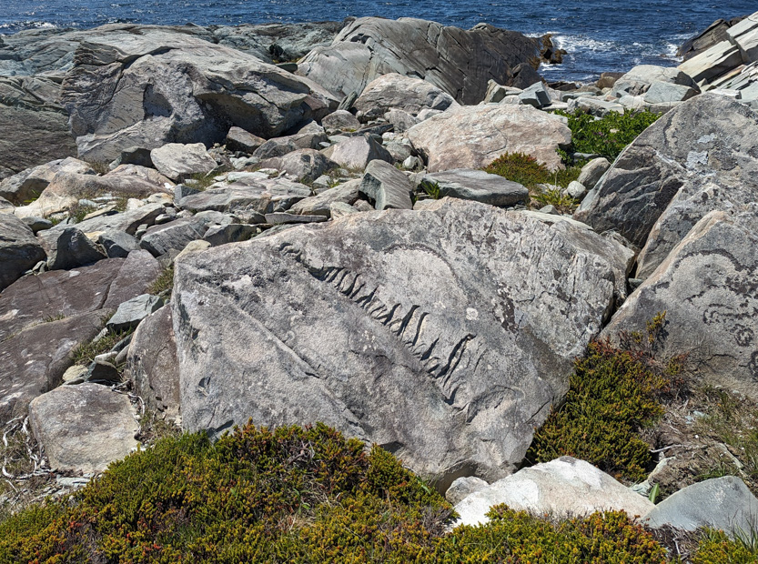
This rock looked like it had been carved.
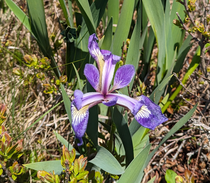
We always love the irises.

A photosphere from near here.

Heading into the bay at the middle of the figure 8.

A somewhat distorted panorama.
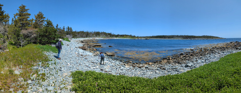
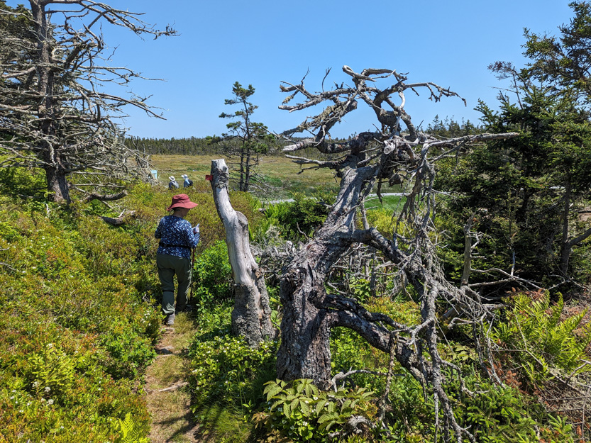
And then deciding to continue to the Headlands Trail.


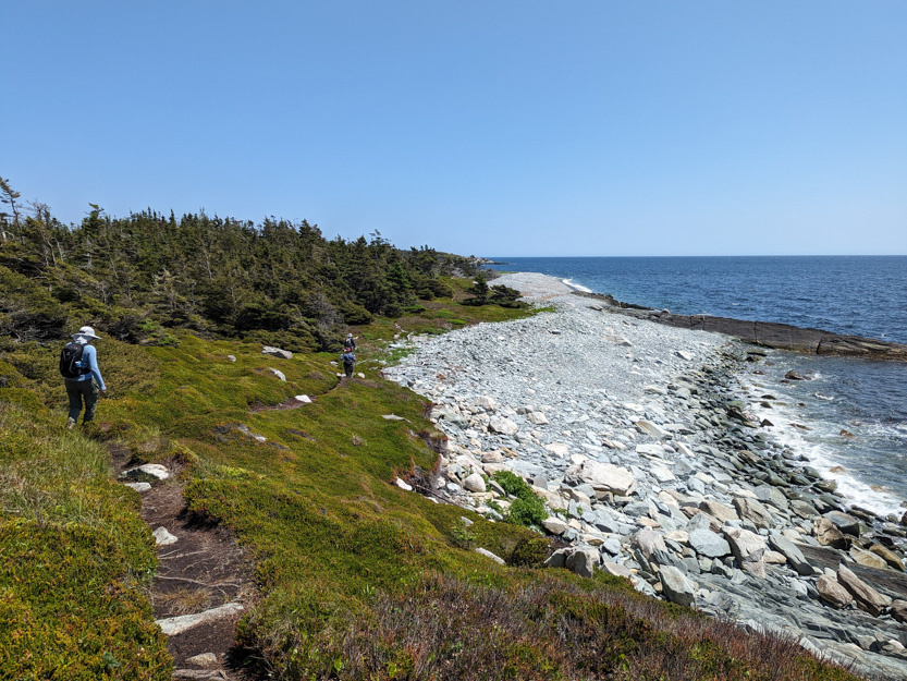
At one point we made a turn into the forest when we should have stayed on the beach. It was sort of a trail.

But we soon figured out what was wrong and headed back out to climb the rocks and walk along the path at the top.

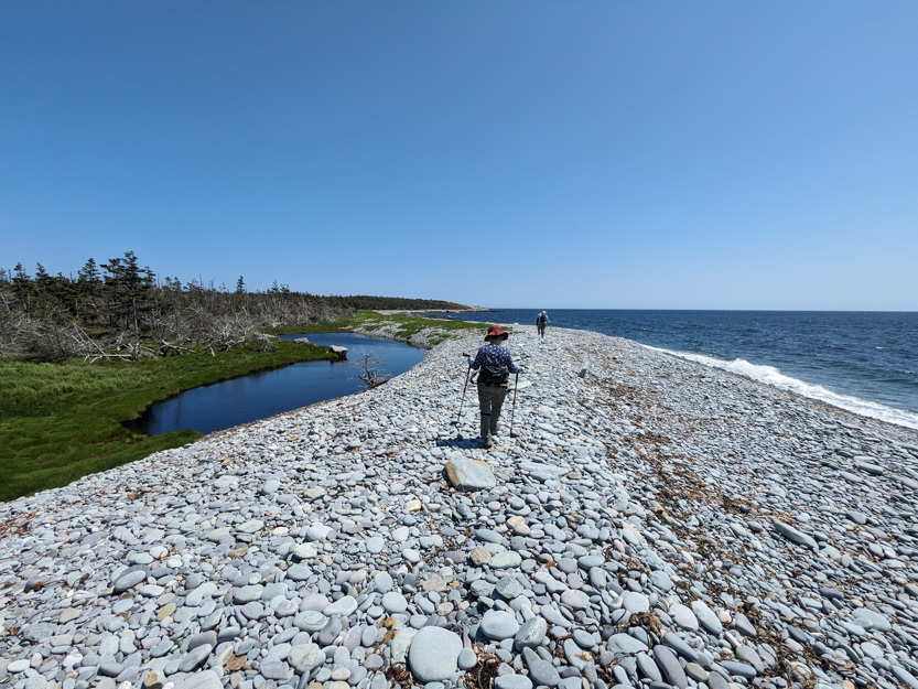
Someone left this in a tree.

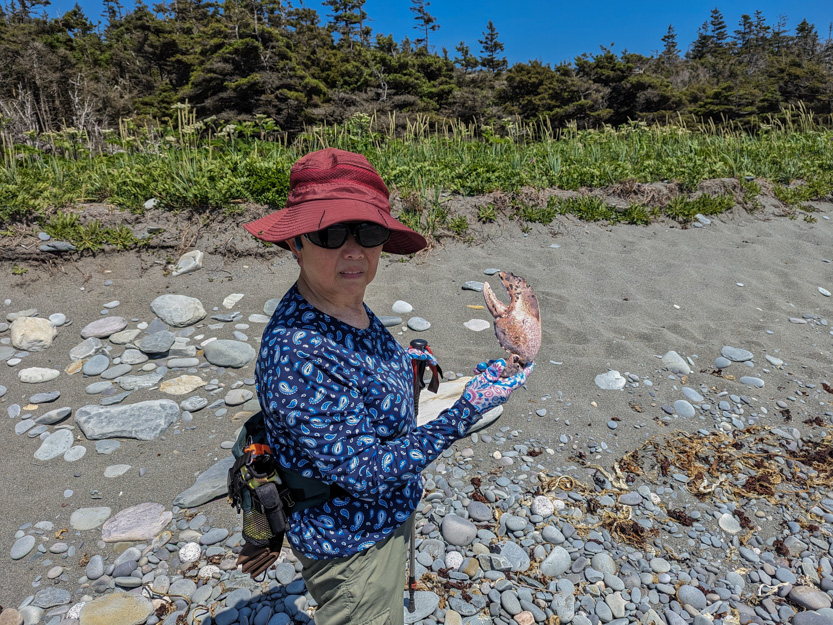
Some animal had a delicious lobster dinner.

Looking back.
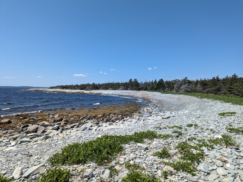
And then we made to the end of Taylor Head.


The photosphere.
Then around to the much rougher east side.
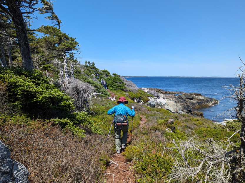
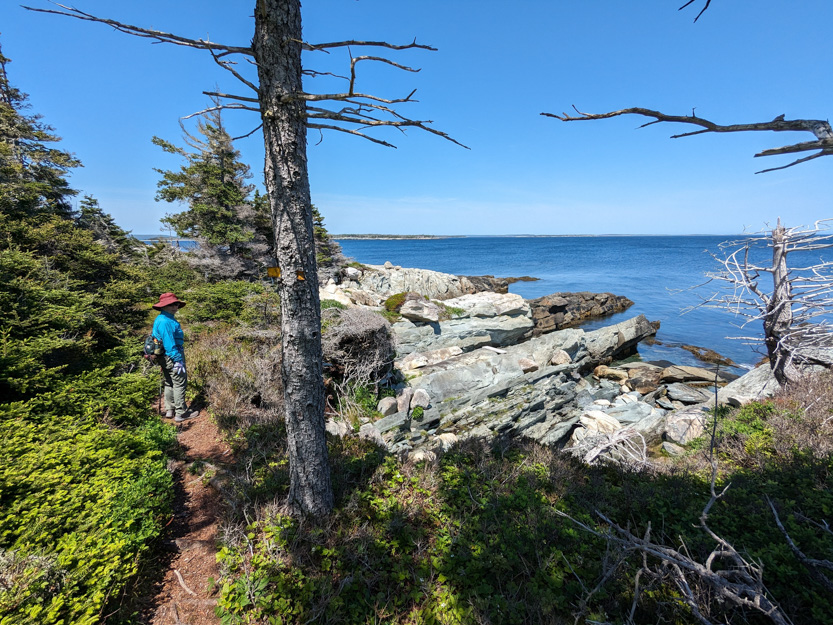
We did pop out for a few rocky beaches.

A photosphere.

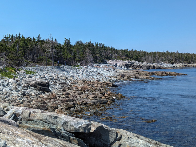
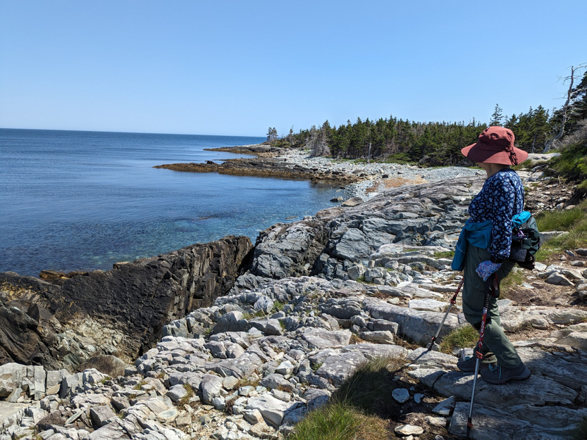

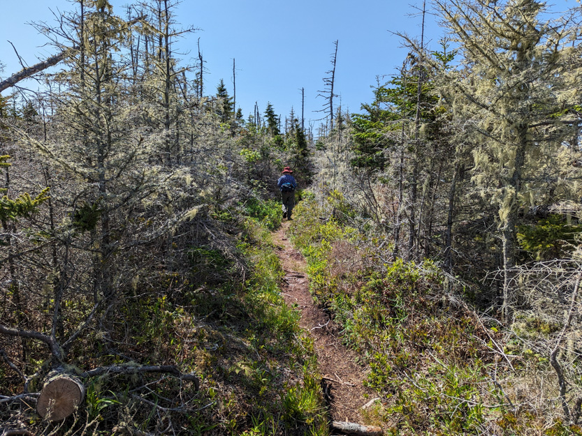
We spent much more time in the forest without any views.

Our first view of the sandy beach.
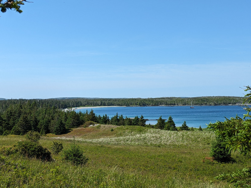
And a welcome easy section through a field.

And finally down to the beach for a rest before we headed home.
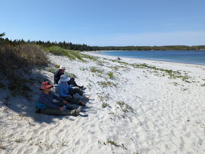

Heather went to dip her feet in but said it was painfully cold.

And the long drive home. We had thought about eating in but the thought of cooking being as tried as we were nixed that. Out for Thai food.
Tomorrow we take Heather and Mark to the airport and then we move on to Cape Breton.
These photos are so iconic! Fabulous blue skies, a great boardwalk and beautiful, secluded beaches!!
ReplyDelete